


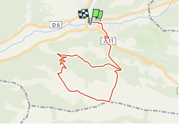


19.3 km | 25 km-effort
![Trail Walking Riez - [Itinéraire] Plaine de Millarettes - Photo](https://media.geolcdn.com/t/1900/400/ext.pjpeg?maxdim=2&url=https%3A%2F%2Fstatic1.geolcdn.com%2Fsiteimages%2Fupload%2Ffiles%2F1553511878bg_sport_marche.png)

User


FREE GPS app for hiking
 SityTrail
IGN / Geographical institutes
SityTrail World
The world is yours!
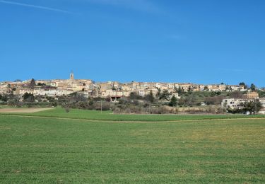
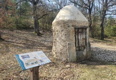
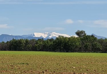
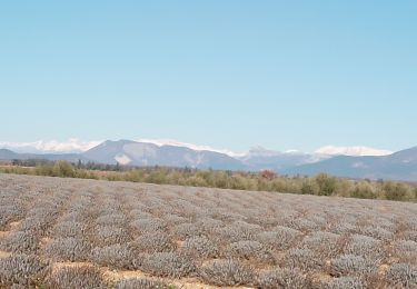
Trail Walking of 10.6 km to be discovered at Provence-Alpes-Côte d'Azur, Alpes-de-Haute-Provence, Riez. This trail is proposed by patrice.marckt.
Walking

Mountain bike
Walking
Walking

Walking
Walking
Walking
Walking

Mountain bike