


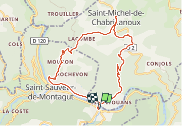

15.4 km | 25 km-effort


User


FREE GPS app for hiking
 SityTrail
IGN / Geographical institutes
SityTrail World
The world is yours!
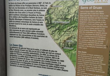
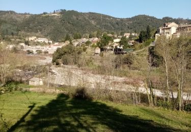
Trail Walking of 10.5 km to be discovered at Auvergne-Rhône-Alpes, Ardèche, Saint-Sauveur-de-Montagut. This trail is proposed by TOULAUDIN.
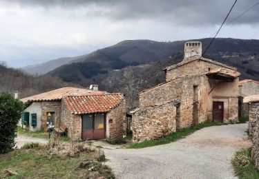
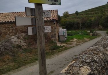
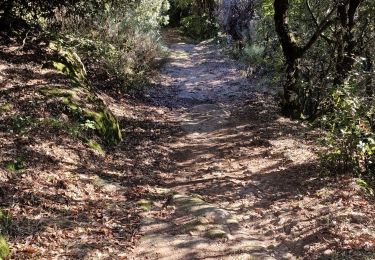
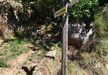
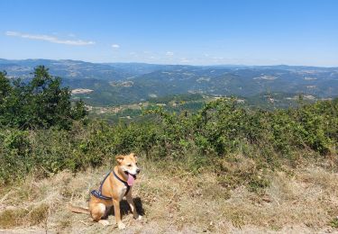
trace réelle : beau parcours toute la montée progressive sur St Michel est sur un chemin ombragé genre chemin de muletier très marchant .à St Michel ,ne pas manquer d'aller voir un de plus vieux maronier de france.à la descente belle vue sur la vallée de l'Eyrieux et se moulinages
Walking
Walking
Walking
Walking
Walking
Walking
Walking
Walking
Walking