


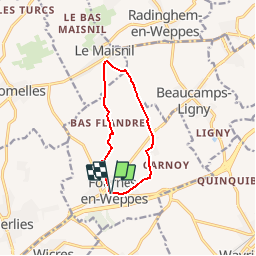

7.6 km | 8.2 km-effort

User


FREE GPS app for hiking
 SityTrail
IGN / Geographical institutes
SityTrail World
The world is yours!
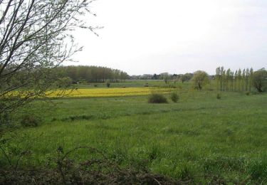
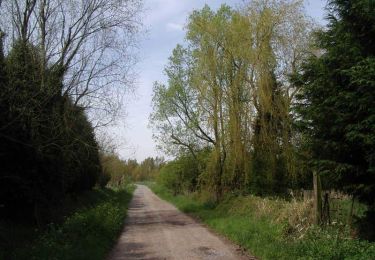
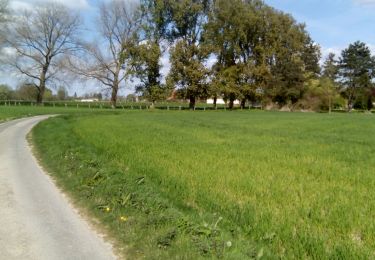
Trail Walking of 8 km to be discovered at Hauts-de-France, Nord, Fournes-en-Weppes. This trail is proposed by tracegps.
A la frontière des Flandres, découvrez un village qui garde intacte sa culture rurale à tradition agricole tout en étant en phase avec l’urbanisation proche. Sans difficulté. Départ de l'église de Fournes en Weppes. Retrouvez la fiche n°10 de la pochette « Balades en Nord, morceaux choisis» sur le site du comité départemental du Tourisme du Nord. Ce circuit a été numérisé par les randonneurs du CODEPEM.


Walking
Walking

Walking

Walking

Walking

Walking
Walking
Walking
Walking