


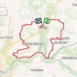

14.3 km | 16.3 km-effort

User


FREE GPS app for hiking
 SityTrail
IGN / Geographical institutes
SityTrail World
The world is yours!
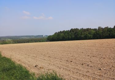
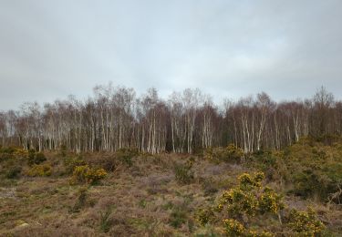
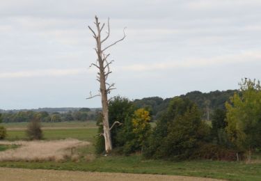
Trail Cycle of 37 km to be discovered at Brittany, Ille-et-Vilaine, Renac. This trail is proposed by tracegps.
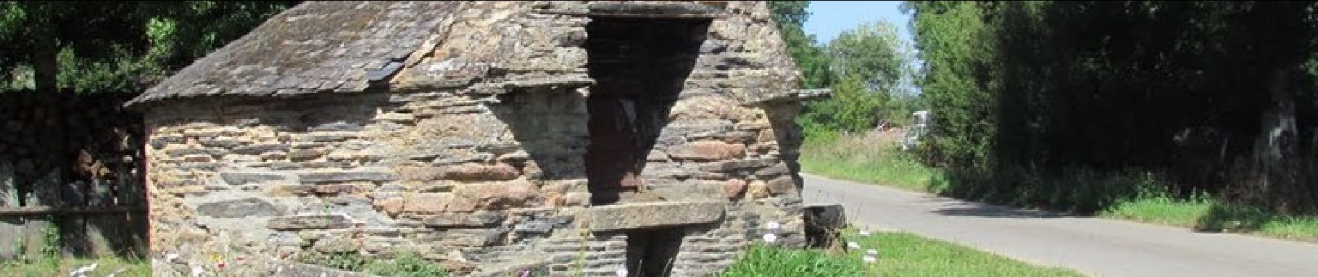
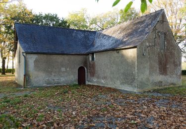
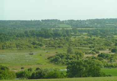
Depuis Renac, rejoignez les bords de la Vilaine par des petites routes de campagne qui vous feront découvrir les chapelles St Fiacre et St Jean d’Epileur, l’agréable halte nautique du Pont du Grand Pas et le marais de Gannedel, espace naturel sensible départemental. Retrouvez le circuit sur le site de la Maison du Tourisme de Redon ou sur le site «balades.bretagne35.com» du Comité Départemental du Tourisme Haute Bretagne Ille-et-Vilaine. Cette balade fait partie d'une sélection des "Plus belles balades" du département, réalisé par le Comité Départemental du Tourisme Haute Bretagne Ille-et-Vilaine.


On foot

Walking
Walking
Walking

Walking
Walking
Walking
Walking
Walking