


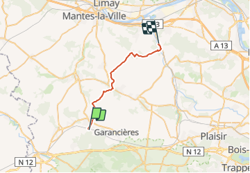

19.6 km | 22 km-effort

User


FREE GPS app for hiking
 SityTrail
IGN / Geographical institutes
SityTrail World
The world is yours!
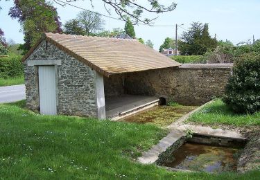
Trail Walking of 22 km to be discovered at Ile-de-France, Yvelines, Orgerus. This trail is proposed by tracegps.
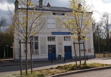
Départ gare d'Orgerus, arrivée gare de Nezel Aulnay. De la rivière La Flexanville, on parcourt le plateau du Mantois avant de rejoindre la vallée de la Mauldre.


Mountain bike
Walking
Walking
Walking

Walking
Walking
Walking

Mountain bike
Walking