Trail Snowshoes Beaufort - Boucle sous la Roche Parstire par les chalets des Bouchets  - Photo

Boucle sous la Roche Parstire par les chalets des Bouchets

 ilur56
ilur56

User

© OpenStreetMap contributors
Length
Length
8.3 km
Max alt
Max alt
1821 m
Uphill gradient
Uphill gradient
621 m
Km-Effort
Km-Effort  
16.5 km
Min alt
Min alt
1231 m
Downhill gradient
Downhill gradient
615 m
Boucle
Boucle
Yes
Creation date :
2022-03-12 08:45:40.424
Updated on :
2022-03-15 07:46:25.877

(0 Reviews)

Snowshoes
Snowshoes
2h59
Difficulty : Medium

Scan this QR Code to open this trail in the SityTrail application

FREE GPS app for hiking

Logo SityTrail SityTrail

IGN / Geographical institutes

Download SityTrail from the App Store Download SityTrail from Google Play

Logo SityTrail SityTrail World

The world is yours!

Download SityTrail from the App Store Download SityTrail from Google Play Download SityTrail on Huawei AppGallery

About

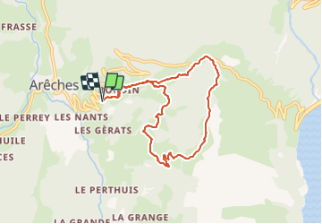
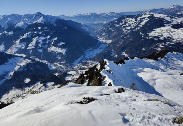
Trail Snowshoes of 8.3 km to be discovered at Auvergne-Rhône-Alpes, Savoy, Beaufort. This trail is proposed by ilur56.

Description

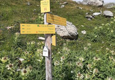
Suivre la piste vers Les Plans, puis le Planard (altitude 1500).
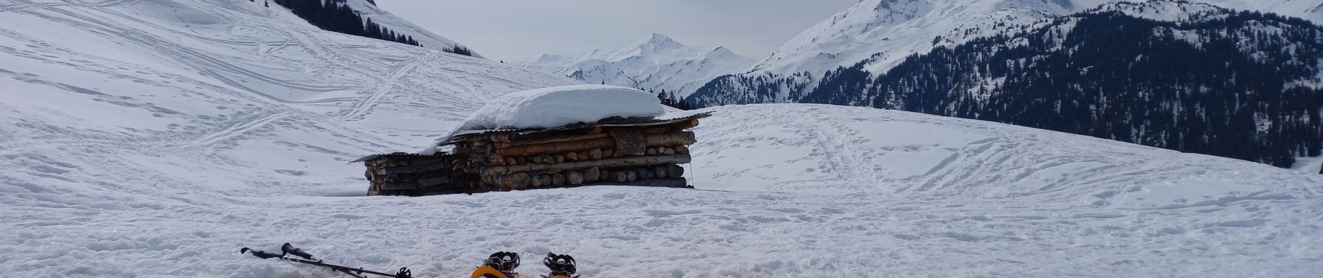
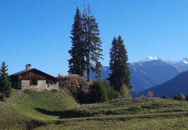
Couper les épingles de la piste montant vers les Bouchets plein sud puis Ouest jusqu'au dernier chalet des Bouchets. (Altitude 1770m, table pour pique niquer à l'abri).
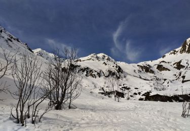
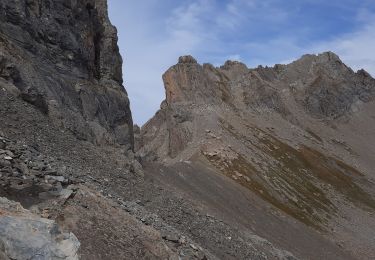
Retour plein nord sous les roches de la Roche Parstire jusqu'au col du Pré, en partie par le sentier botanique.
Descente sud Est à travers les prés jusqu'à la piste de départ.

Elevation profile

Photos

Positioning

Country:
France
Region :
Auvergne-Rhône-Alpes
Department/Province :
Savoy
Municipality :
Beaufort
Location:
Unknown
Start:(UTM)
311396 ; 5061819 (32T) N.

Trails nearby

Trail Cycle Villard-sur-Doron - Boucle Villars le Mont Crest Voland Les Saisies - Photo
Cycle
BrunoMounier

Cycle

Difficult
(1)
Villard-sur-Doron, Auvergne-Rhône-Alpes, Savoy, France
49 km | 74 km-effort
3h 42min
Yes
Trail Walking Beaufort - D'Arêches au Col de Pré par le hameau de Boudin - Photo
Walking
tracegps

Walking

Medium
(1)
Beaufort, Auvergne-Rhône-Alpes, Savoy, France
8.2 km | 17.9 km-effort
4h 0min
Yes
Trail Walking Beaufort - lac de Presset et passeur de la Mintaz (belvédère de la Pierra Menta) - Photo
Walking
GUIDE
amiral13

Walking

Difficult
Beaufort, Auvergne-Rhône-Alpes, Savoy, France
11.6 km | 24 km-effort
2h 57min
Yes
Trail Touring skiing Beaufort - Anticime de la pointe de la grande journée, montée couloir du grepets  - Photo
Touring skiing
nadd73

Touring skiing

Difficult
Beaufort, Auvergne-Rhône-Alpes, Savoy, France
13.4 km | 30 km-effort
4h 48min
Yes
Trail Walking Beaufort - Col de Roche Plane - Photo
Walking
GuyVachet

Walking

Very difficult
Beaufort, Auvergne-Rhône-Alpes, Savoy, France
12.2 km | 27 km-effort
6h 12min
Yes
Trail Walking Beaufort - Brèche de Parozan - Photo
Walking
GuyVachet

Walking

Very difficult
Beaufort, Auvergne-Rhône-Alpes, Savoy, France
9.6 km | 23 km-effort
4h 29min
Yes
Trail Walking Beaufort - Lac d'Amour - Photo
Walking
GUIDE
David25400

Walking

Easy
Beaufort, Auvergne-Rhône-Alpes, Savoy, France
21 km | 35 km-effort
6h 22min
Yes
Trail Walking Beaufort - BEAUFORTIN: DE TREICOL AU REFUGE DE PRESSET - Photo
Walking
djeepee74

Walking

Medium
Beaufort, Auvergne-Rhône-Alpes, Savoy, France
9.1 km | 19.1 km-effort
3h 10min
No
Trail Touring skiing Beaufort - Fontana - la Gittaz - Rocher des Enclaves - Col du Sallestet - Pas d'Outray - les Merands - Photo
Touring skiing
bill73

Touring skiing

Very easy
Beaufort, Auvergne-Rhône-Alpes, Savoy, France
21 km | 43 km-effort
5h 32min
No


Close
My subscriptions