


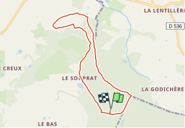

8.8 km | 10.9 km-effort


Tous les sentiers balisés d’Europe GUIDE+


FREE GPS app for hiking
 SityTrail
IGN / Geographical institutes
SityTrail World
The world is yours!
Trail On foot of 7.9 km to be discovered at Pays de la Loire, Mayenne, Pré-en-Pail-Saint-Samson. This trail is proposed by SityTrail - itinéraires balisés pédestres.
Website: http://randomontdesavaloirs.free.fr/


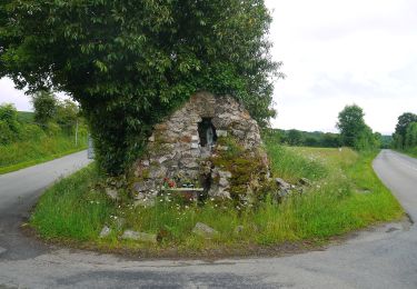
On foot
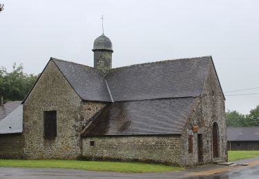
On foot

On foot
On foot
On foot
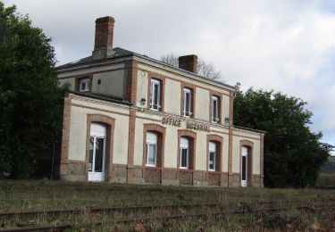
On foot
On foot
On foot

Walking