Trail On foot Schorbach - Bitche panoramic tour - Photo

Bitche panoramic tour

Tous les sentiers balisés d’Europe PRO

© OpenStreetMap contributors
Length
Length
13.1 km
Max alt
Max alt
418 m
Uphill gradient
Uphill gradient
305 m
Km-Effort
Km-Effort  
17.2 km
Min alt
Min alt
278 m
Downhill gradient
Downhill gradient
304 m
Boucle
Boucle
Yes
Signpost
Signpost
Creation date :
2022-02-15 01:38:11.344
Updated on :
2022-03-02 10:26:27.316

(1 Reviews)

On foot
On foot
3h54
Difficulty : Easy

Scan this QR Code to open this trail in the SityTrail application

FREE GPS app for hiking

Logo SityTrail SityTrail

IGN / Geographical institutes

Download SityTrail from the App Store Download SityTrail from Google Play

Logo SityTrail SityTrail World

The world is yours!

Download SityTrail from the App Store Download SityTrail from Google Play Download SityTrail on Huawei AppGallery

About

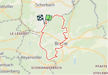
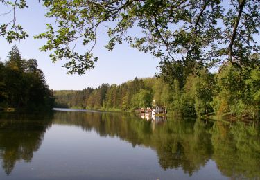
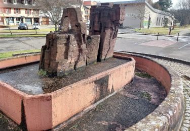
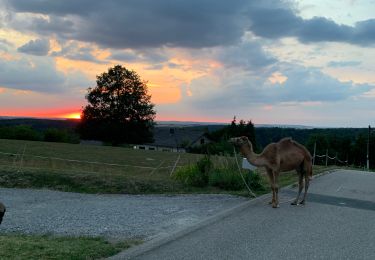
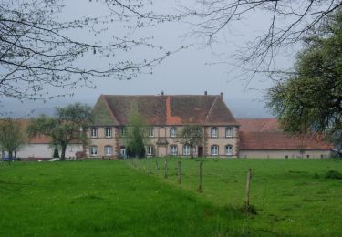
Trail On foot of 13.1 km to be discovered at Grand Est, Moselle, Schorbach. This trail is proposed by SityTrail - itinéraires balisés pédestres.

Description

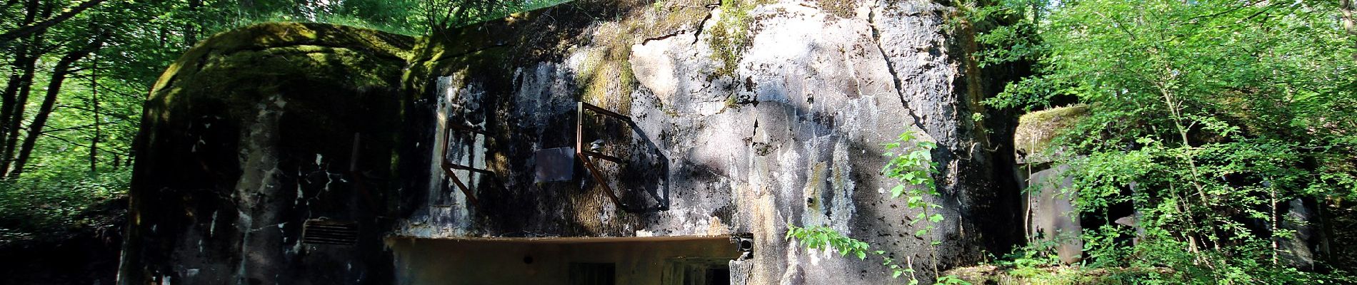
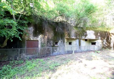
Trail created by Club vosgien Bitche.

Formerly marked by a vertical yellow rectangle.

Symbol: red circle with white dot in the middle


Website: https://ignrando.fr/fr/parcours/27495-3713et-bitche-9-anneau-rouge-circulaire-autour-de-bitche

Photos

Positioning

Country:
France
Region :
Grand Est
Department/Province :
Moselle
Municipality :
Schorbach
Location:
Unknown
Start:(UTM)
383621 ; 5435905 (32U) N.

Comments

Please log in to post a review or rate the element


Superbe parcours pour découvrir Bitche.


Trails nearby

Trail Walking Bitche - Etang de Hasselfurth et Hochkopf - Bitche - Photo
Walking
tracegps

Walking

Medium
(1)
Bitche, Grand Est, Moselle, France
7.8 km | 10.1 km-effort
2h 0min
Yes
Trail Walking Bitche - Circuit panoramique de Bitche - Photo
Walking
tracegps

Walking

Medium
(2)
Bitche, Grand Est, Moselle, France
12.7 km | 16.7 km-effort
3h 25min
Yes
Trail On foot Hanviller - Chevalet jaune - Photo
On foot
PRO

On foot

Easy
Hanviller, Grand Est, Moselle, France
6.3 km | 7.1 km-effort
1h 37min
No
Trail On foot Schorbach - Anneau bleu - Photo
On foot
PRO

On foot

Easy
Schorbach, Grand Est, Moselle, France
14.6 km | 18.7 km-effort
4h 15min
Yes
Trail On foot Bitche - Yellow triangle - Photo
On foot
PRO

On foot

Easy
Bitche, Grand Est, Moselle, France
8.4 km | 10.7 km-effort
2h 26min
No
Trail On foot Bitche - Yellow-white-yellow rectangle - Photo
On foot
PRO

On foot

Difficult
Bitche, Grand Est, Moselle, France
26 km | 35 km-effort
7h 58min
No
Trail On foot Bitche - Yellow X - Photo
On foot
PRO

On foot

Easy
Bitche, Grand Est, Moselle, France
12.1 km | 18.2 km-effort
4h 7min
No
Trail Horseback riding Lambach - Promenade autour de Bitche - Photo
Horseback riding
Silke Roth

Horseback riding

Very difficult
Lambach, Grand Est, Moselle, France
9.8 km | 13.7 km-effort
2h 15min
Yes
Trail On foot Lengelsheim - Anneau vert - Photo
On foot
PRO

On foot

Easy
Lengelsheim, Grand Est, Moselle, France
10.2 km | 13.8 km-effort
3h 7min
Yes


Close
My subscriptions