


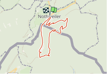

18.4 km | 26 km-effort

Tous les sentiers balisés d’Europe GUIDE+


FREE GPS app for hiking
 SityTrail
IGN / Geographical institutes
SityTrail World
The world is yours!
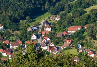
Trail On foot of 7.2 km to be discovered at Rhineland-Palatinate, Südwestpfalz, Nothweiler. This trail is proposed by SityTrail - itinéraires balisés pédestres.
Symbol: zwei stilisierte blaue Köpfe mit grünem Hut bzw. gelber Baskenmütze auf braunem Grund und in weißem Rahmen, unten links die Wappen von Frankreich und Deutschland und schwarzer Unterschrift "Grenzgängerweg"


Horseback riding

Walking
On foot