


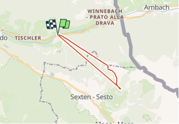

4.3 km | 12.1 km-effort


User


FREE GPS app for hiking
 SityTrail
IGN / Geographical institutes
SityTrail World
The world is yours!
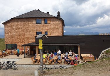
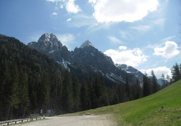
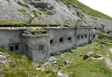
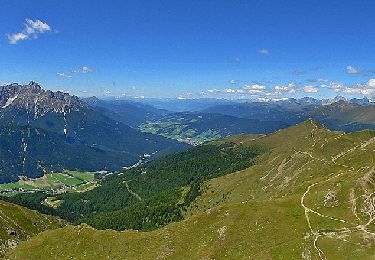
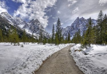
Trail Alpine skiing of 9.2 km to be discovered at Trentino-Alto Adige/Südtirol, South Tyrol, Innichen - San Candido. This trail is proposed by francoisperez.
On foot
On foot
On foot

On foot
On foot
On foot
On foot
On foot
On foot