


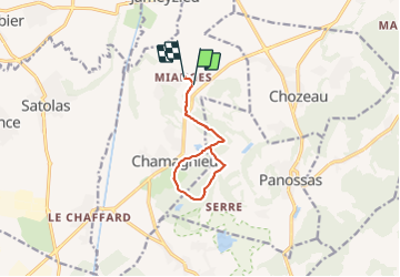

34 km | 43 km-effort


User


FREE GPS app for hiking
 SityTrail
IGN / Geographical institutes
SityTrail World
The world is yours!
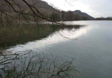
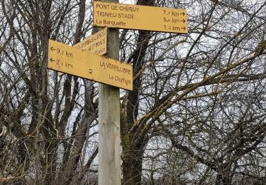
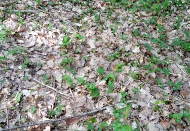
Trail Walking of 9.1 km to be discovered at Auvergne-Rhône-Alpes, Isère, Chamagnieu. This trail is proposed by Elaan4.
Mianges - le chatrou - mont Morel -chamagnieu
Mountain bike
Mountain bike
Mountain bike

Mountain bike
Walking
Walking

Walking
Walking


sport