


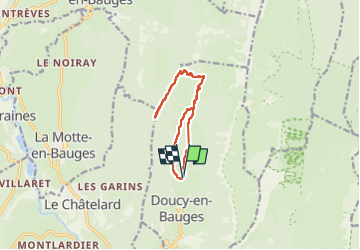

13.1 km | 24 km-effort

User


FREE GPS app for hiking
 SityTrail
IGN / Geographical institutes
SityTrail World
The world is yours!
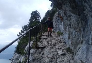
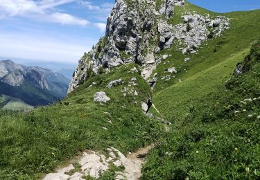
Trail Walking of 11.9 km to be discovered at Auvergne-Rhône-Alpes, Savoy, Doucy-en-Bauges. This trail is proposed by PatDev.
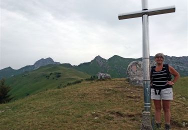
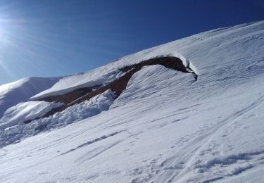
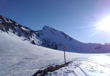
Presque au sommet par la crête avec beaucoup de neige mais passage difficile juste avant le sommet
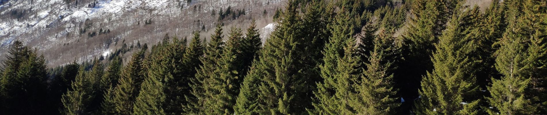
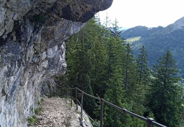
 - Crête du Mont Julioz (-12-20).ori - Photo 1")
 - Crête du Mont Julioz (-12-20).ori - Photo 2")
 - Crête du Mont Julioz (-12-20).ori - Photo 3")
 - Crête du Mont Julioz (-12-20).ori - Photo 4")
 - Crête du Mont Julioz (-12-20).ori - Photo 5")
 - Crête du Mont Julioz (-12-20).ori - Photo 6")
Walking

Walking
Walking
Touring skiing
Touring skiing

Walking
Walking

Walking
Walking