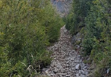
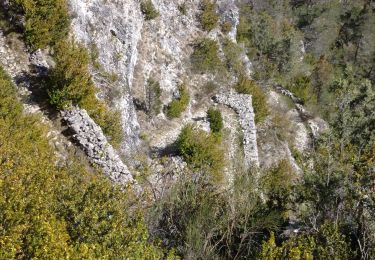
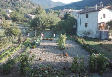
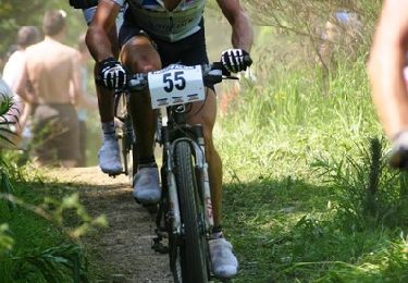
Trail Running Miscon - Les granges - Photo
© OpenStreetMap contributors
Length
Length
3.1 km
Max alt
Max alt
1039 m
Uphill gradient
Uphill gradient
293 m
Km-Effort
Km-Effort  
6.1 km
Min alt
Min alt
747 m
Downhill gradient
Downhill gradient
16 m
Boucle
Boucle
No
Creation date :
2021-08-20 12:20:16.0
Updated on :
2021-08-20 13:49:38.529

(0 Reviews)

Running
Running
1h28
Difficulty : Unknown

Scan this QR Code to open this trail in the SityTrail application

FREE GPS app for hiking

Logo SityTrail SityTrail

IGN / Geographical institutes

Download SityTrail from the App Store Download SityTrail from Google Play

Logo SityTrail SityTrail World

The world is yours!

Download SityTrail from the App Store Download SityTrail from Google Play Download SityTrail on Huawei AppGallery

About

Trail Running of 3.1 km to be discovered at Auvergne-Rhône-Alpes, Drôme, Miscon. This trail is proposed by Allard Blom.

Elevation profile

Positioning

Country:
France
Region :
Auvergne-Rhône-Alpes
Department/Province :
Drôme
Municipality :
Miscon
Location:
Unknown
Start:(UTM)
699516 ; 4944010 (31T) N.

Trails nearby

Trail Nordic walking Luc-en-Diois - 06/02/2016 Luc en Diois -pic de Luc - Claps  - Photo
Nordic walking
fiorano

Nordic walking

Medium
Luc-en-Diois, Auvergne-Rhône-Alpes, Drôme, France
10.8 km | 18.5 km-effort
2h 57min
Yes
Trail Walking Boulc - 26 soubreroche - Photo
Walking
himba26100

Walking

Medium
Boulc, Auvergne-Rhône-Alpes, Drôme, France
18.2 km | 30 km-effort
6h 49min
Yes
Trail Other activity Lesches-en-Diois - 23 09 Lesches en Die Preprayer Montmorin - Photo
Other activity
manginpascale

Other activity

Very easy
Lesches-en-Diois, Auvergne-Rhône-Alpes, Drôme, France
24 km | 41 km-effort
7h 31min
No
Trail Mountain bike Luc-en-Diois - Raid VTT Les Chemins du Soleil 2009 - Rando jour 2  - Photo
Mountain bike
tracegps

Mountain bike

Very difficult
Luc-en-Diois, Auvergne-Rhône-Alpes, Drôme, France
44 km | 73 km-effort
5h 0min
No
Trail Mountain bike Luc-en-Diois - Grande Traversée des PréAlpes à VTT : Luc en Diois - Haut Charens - Photo
Mountain bike
tracegps

Mountain bike

Difficult
Luc-en-Diois, Auvergne-Rhône-Alpes, Drôme, France
14.9 km | 22 km-effort
2h 0min
No
Trail Mountain bike Luc-en-Diois - Raid VTT Les Chemins du Soleil 2007 - Elite jour 1 - Photo
Mountain bike
tracegps

Mountain bike

Very difficult
Luc-en-Diois, Auvergne-Rhône-Alpes, Drôme, France
73 km | 115 km-effort
7h 0min
No
Trail Walking Menglon - la grésière les gallands Drôme - Photo
Walking
Francois Noel

Walking

Medium
Menglon, Auvergne-Rhône-Alpes, Drôme, France
12.7 km | 24 km-effort
5h 17min
No
Trail Walking Boulc - Col Varaime - Photo
Walking
Jean-AlainVorgeat

Walking

Very difficult
Boulc, Auvergne-Rhône-Alpes, Drôme, France
14.4 km | 23 km-effort
5h 40min
Yes
Trail Walking Boulc - Mansac.Diois cretes de mayor - Photo
Walking
Vellan26

Walking

Difficult
Boulc, Auvergne-Rhône-Alpes, Drôme, France
7.1 km | 10.9 km-effort
7h 0min
No


Close
My subscriptions