Trail Walking Lavoine - Les sources de la Besbre - Photo

Les sources de la Besbre

 Bobol
Bobol

User

© OpenStreetMap contributors
Length
Length
8.4 km
Max alt
Max alt
1175 m
Uphill gradient
Uphill gradient
239 m
Km-Effort
Km-Effort  
11.6 km
Min alt
Min alt
965 m
Downhill gradient
Downhill gradient
253 m
Boucle
Boucle
Yes
Creation date :
2021-08-16 13:43:37.591
Updated on :
2021-08-24 18:05:06.566

(0 Reviews)

Walking
Walking
42h44
Difficulty : Medium

Scan this QR Code to open this trail in the SityTrail application

FREE GPS app for hiking

Logo SityTrail SityTrail

IGN / Geographical institutes

Download SityTrail from the App Store Download SityTrail from Google Play

Logo SityTrail SityTrail World

The world is yours!

Download SityTrail from the App Store Download SityTrail from Google Play Download SityTrail on Huawei AppGallery

About

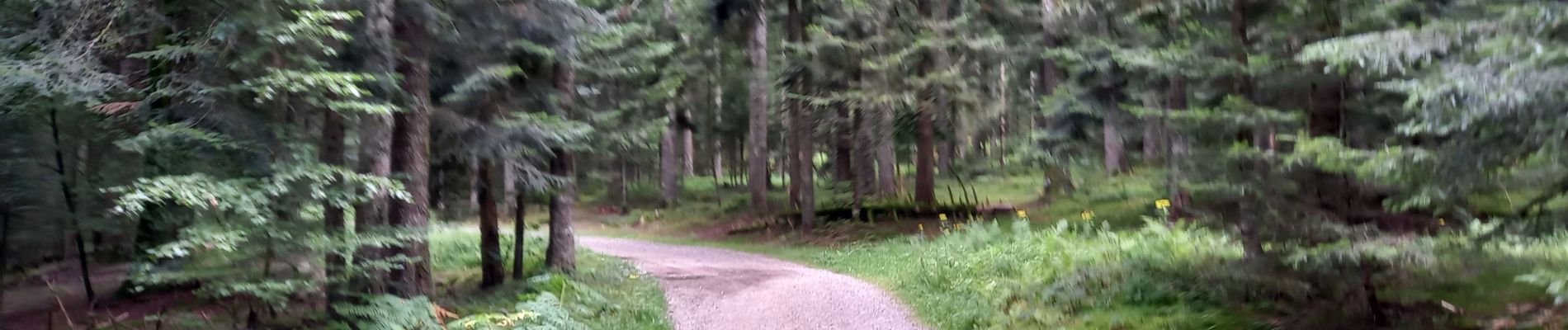
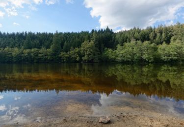
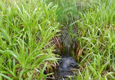
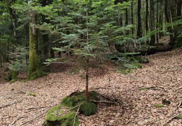
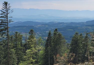
Trail Walking of 8.4 km to be discovered at Auvergne-Rhône-Alpes, Allier, Lavoine. This trail is proposed by Bobol.

Description

Petite randonnée pas trop compliquée mais avec quelques chemins caillouteux. Voir la petite préférence d'itinéraire en fin de parcours pour éviter une descente casse g.....

Elevation profile

Photos

Points of interest

Positioning

Country:
France
Region :
Auvergne-Rhône-Alpes
Department/Province :
Allier
Municipality :
Lavoine
Location:
Unknown
Start:(UTM)
553714 ; 5089958 (31T) N.

Trails nearby

Trail On foot Saint-Victor-Montvianeix - Margault, la truite Fario - Photo
On foot
PRO

On foot

Easy
Saint-Victor-Montvianeix, Auvergne-Rhône-Alpes, Puy-de-Dôme, France
6.9 km | 9.4 km-effort
2h 8min
Yes
Trail On foot Lavoine - Le Puy de Montoncel - Photo
On foot
PRO

On foot

Easy
Lavoine, Auvergne-Rhône-Alpes, Allier, France
12.5 km | 19.7 km-effort
4h 28min
Yes
Trail Walking Saint-Priest-la-Prugne - Randonnée au dessus de St Priest la Prugne  - Photo
Walking
dudu42

Walking

Medium
Saint-Priest-la-Prugne, Auvergne-Rhône-Alpes, Loire, France
10.9 km | 15.8 km-effort
3h 21min
Yes
Trail Walking Arconsat - Col de la Charme  - Photo
Walking
dudu42

Walking

Medium
Arconsat, Auvergne-Rhône-Alpes, Puy-de-Dôme, France
12.9 km | 16.2 km-effort
3h 36min
Yes
Trail Walking Lavoine - De Lavoine à St Clément  - Photo
Walking
NANE51

Walking

Easy
Lavoine, Auvergne-Rhône-Alpes, Allier, France
14.4 km | 19.4 km-effort
4h 1min
No
Trail Mountain bike La Guillermie - Les Moulins au creux des vallées du Terrasson et du Theux - La Guillermie - Photo
Mountain bike
tracegps

Mountain bike

Very difficult
La Guillermie, Auvergne-Rhône-Alpes, Allier, France
42 km | 61 km-effort
4h 15min
Yes
Trail Mountain bike Lavoine - VTT au pied des 8 éoliennes du Chemin de la Ligue - Lavoine - Photo
Mountain bike
tracegps

Mountain bike

Very difficult
Lavoine, Auvergne-Rhône-Alpes, Allier, France
42 km | 58 km-effort
4h 15min
Yes
Trail Walking Lavoine - Lavoine - Le Rocher Saint Vincent et le Roc des Gabelous - Photo
Walking
tracegps

Walking

Difficult
Lavoine, Auvergne-Rhône-Alpes, Allier, France
10.8 km | 15.3 km-effort
2h 30min
Yes
Trail Walking Celles-sur-Durolle - Le Puy de Montoncel_T - Photo
Walking
force

Walking

Difficult
Celles-sur-Durolle, Auvergne-Rhône-Alpes, Puy-de-Dôme, France
12.2 km | 18.5 km-effort
3h 11min
Yes


Close
My subscriptions