25 km | 36 km-effort
camping du lac - guinguette du bout du lac
marsupio
User
Length
7.5 km
Max alt
805 m
Uphill gradient
343 m
Km-Effort
12 km
Min alt
576 m
Downhill gradient
344 m
Boucle
No
Creation date :
2021-07-26 07:37:43.999
Updated on :
2021-07-26 10:47:00.955
2h50
Difficulty : Difficult
FREE GPS app for hiking
About
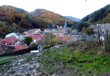
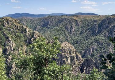
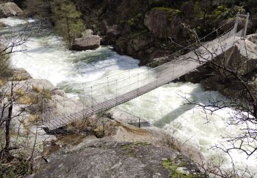
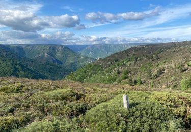
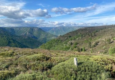
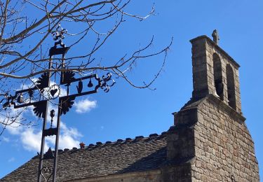
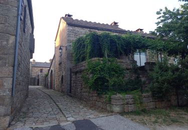
Trail Walking of 7.5 km to be discovered at Occitania, Lozère, Pourcharesses. This trail is proposed by marsupio.
Description
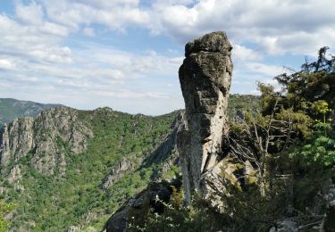
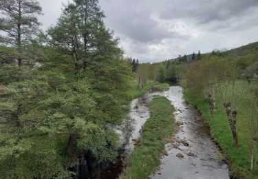
super randonnée avec quelques passages le long de falaise
Positioning
Country:
France
Region :
Occitania
Department/Province :
Lozère
Municipality :
Pourcharesses
Location:
Unknown
Start:(Dec)
Start:(UTM)
573804 ; 4923521 (31T) N.
Comments
Trails nearby
GRP Tour du Chassezac en 2 jours
Walking
Difficult
Pied-de-Borne,
Occitania,
Lozère,
France
6h 50min
No
au coeur des gorges du chassezac au départ de Villefort
Walking
Difficult
Pourcharesses,
Occitania,
Lozère,
France
17.6 km | 28 km-effort
7h 12min
Yes
Gorges de Chassezac
Walking
Difficult
Prévenchères,
Occitania,
Lozère,
France
19 km | 30 km-effort
7h 33min
Yes
Le tour du Chassezac
Walking
Very difficult
Pied-de-Borne,
Occitania,
Lozère,
France
49 km | 72 km-effort
37h 28min
Yes
Le tour du chassezac
Walking
Very difficult
Pied-de-Borne,
Occitania,
Lozère,
France
49 km | 72 km-effort
16h 34min
Yes
La garde guerin
Walking
Very easy
Prévenchères,
Occitania,
Lozère,
France
6.1 km | 7.4 km-effort
1h 39min
Yes
Gorges du Chassezac au départ de la Garde guérin
Walking
Difficult
Prévenchères,
Occitania,
Lozère,
France
10 km | 17.2 km-effort
4h 3min
Yes
La Garde Guerin
Walking
Very difficult
Prévenchères,
Occitania,
Lozère,
France
12.4 km | 21 km-effort
5h 5min
Yes