


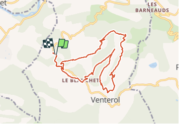

14.2 km | 23 km-effort


User


FREE GPS app for hiking
 SityTrail
IGN / Geographical institutes
SityTrail World
The world is yours!
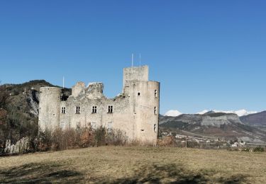
Trail Walking of 11 km to be discovered at Provence-Alpes-Côte d'Azur, Alpes-de-Haute-Provence, Venterol. This trail is proposed by rigol05.
Sortie du 12-07 départ D854 au niveau de la table d'orientation.
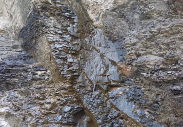
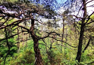
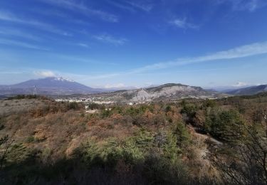
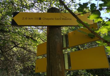
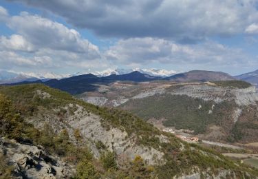
Itinéraire sur route, piste, chemin, sentier, il est dommage que par endroit la végétation encombre le passage. Le tour de la Cuérate offre de beaux paysages. Le passage du ravin des Blaches bien qu'aménagé peut s'avérer délicat pour certains. Aucun balisage sur l'itinéraire, une trace gps est recommandée.

Walking

Walking
Walking
Walking
Walking
Walking
Walking
Walking

Walking