


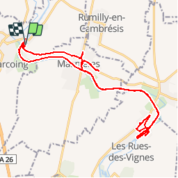

11.3 km | 12.7 km-effort


User


FREE GPS app for hiking
 SityTrail
IGN / Geographical institutes
SityTrail World
The world is yours!
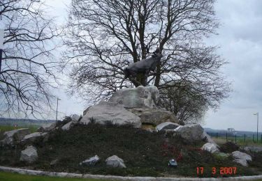
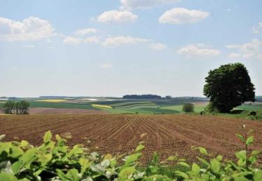
Trail Cycle of 23 km to be discovered at Hauts-de-France, Nord, Marcoing. This trail is proposed by Bernard.voyageur.
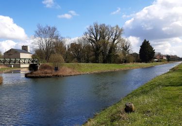
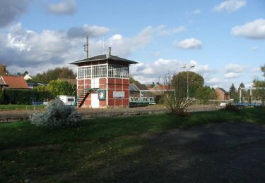
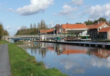
Le long du Canal de Saint Quentin de Marcoing à La Rue des Vignes
Walking
Walking

Walking

Walking
Walking
Walking
Walking
Walking
Walking