


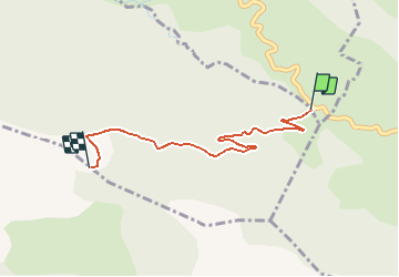

9.1 km | 17.8 km-effort


User


FREE GPS app for hiking
 SityTrail
IGN / Geographical institutes
SityTrail World
The world is yours!
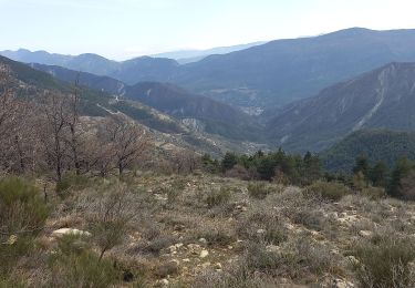
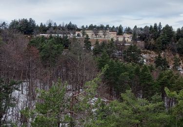
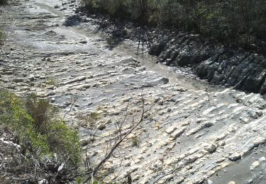
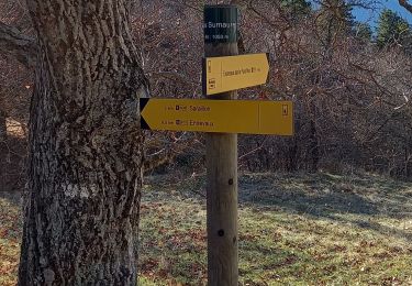
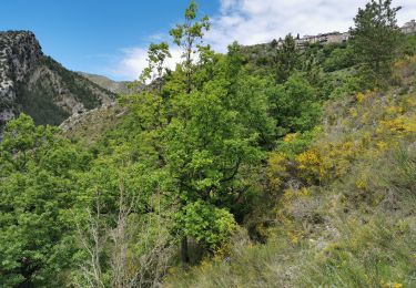
Trail On foot of 2.6 km to be discovered at Provence-Alpes-Côte d'Azur, Alpes-de-Haute-Provence, Sausses. This trail is proposed by aladep.
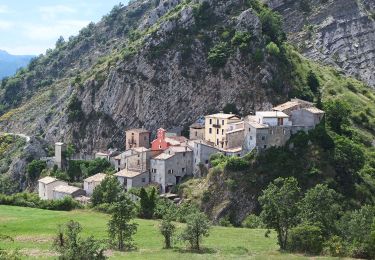
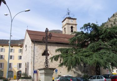
Dans les A-M au départ du col de St Léger
On foot
On foot

Walking
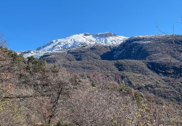
Snowshoes
Walking
Walking
Walking
Walking
Walking