


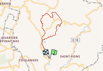


10.3 km | 18.6 km-effort

User GUIDE


FREE GPS app for hiking
 SityTrail
IGN / Geographical institutes
SityTrail World
The world is yours!
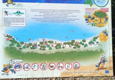
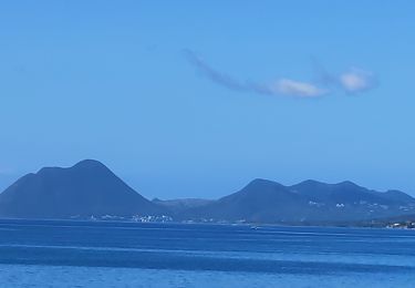
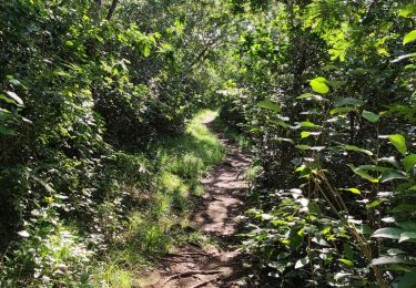
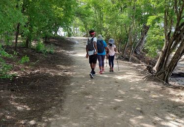
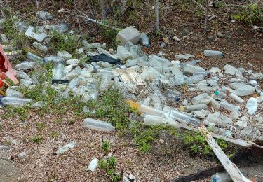
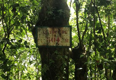
Trail Walking of 10.7 km to be discovered at Martinique, Unknown, Rivière-Pilote. This trail is proposed by Lamartiniere.
Demande d' autorisation de passage Hbt La Mauny.


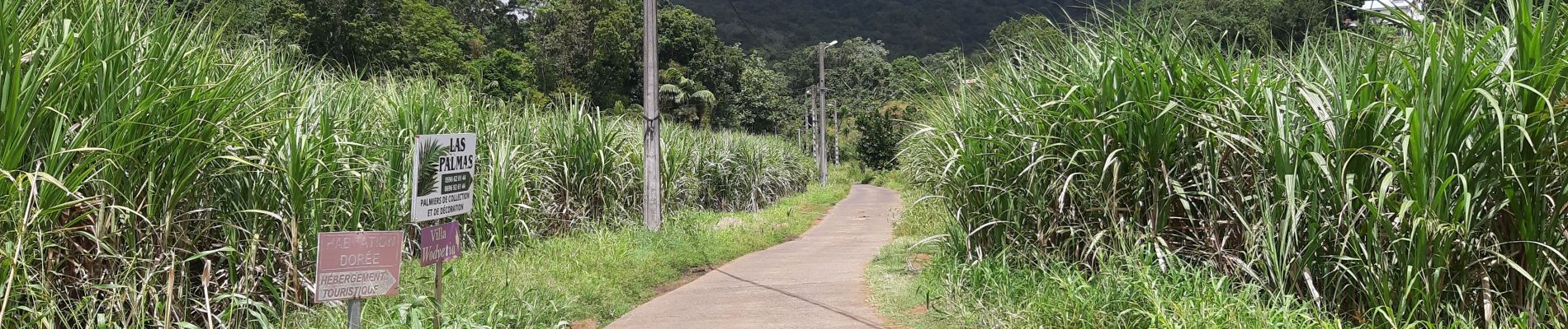
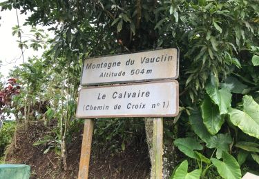
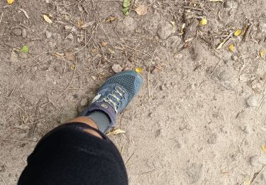
36 photos in total. Please click on a photo to see them all in the gallery.
Other activity
Walking
Walking
Walking
Walking
Walking
Walking
Walking

Walking