


11.4 km | 14.3 km-effort


User


FREE GPS app for hiking
 SityTrail
IGN / Geographical institutes
SityTrail World
The world is yours!
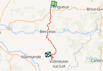
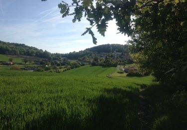
Trail Walking of 122 km to be discovered at New Aquitaine, Dordogne, Saint-Astier. This trail is proposed by kmedone.
GR654 De St Astier (Dordogne) à Pinel-Hauterive (L-et-G)
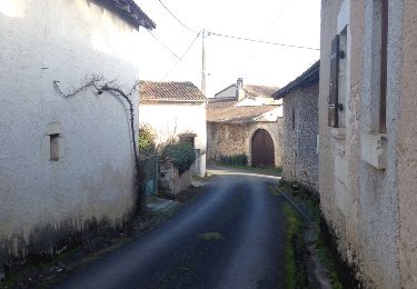
Walking
On foot

Walking

On foot

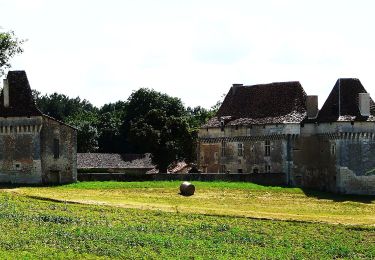
Walking

Walking
Walking

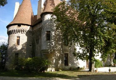
Walking
Walking
bouclé bd