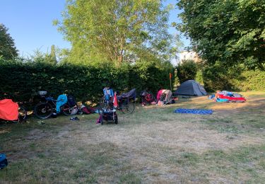
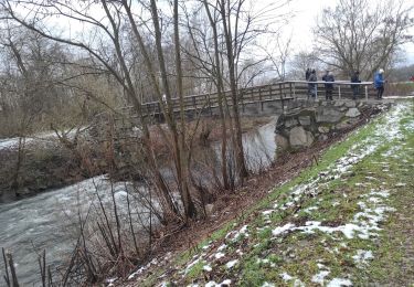
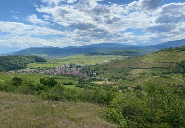
Trail Walking Meyenheim - Entre les berges de l'Ill et du canal Vauban  - Photo

Entre les berges de l'Ill et du canal Vauban

 zazie
zazie

User

© OpenStreetMap contributors
Length
Length
8.3 km
Max alt
Max alt
208 m
Uphill gradient
Uphill gradient
33 m
Km-Effort
Km-Effort  
8.7 km
Min alt
Min alt
201 m
Downhill gradient
Downhill gradient
34 m
Boucle
Boucle
Yes
Creation date :
2020-12-26 11:16:37.961
Updated on :
2020-12-26 12:56:35.124

(1 Reviews)

Walking
Walking
1h37
Difficulty : Very easy

Scan this QR Code to open this trail in the SityTrail application

FREE GPS app for hiking

Logo SityTrail SityTrail

IGN / Geographical institutes

Download SityTrail from the App Store Download SityTrail from Google Play

Logo SityTrail SityTrail World

The world is yours!

Download SityTrail from the App Store Download SityTrail from Google Play Download SityTrail on Huawei AppGallery

About

Trail Walking of 8.3 km to be discovered at Grand Est, Haut-Rhin, Meyenheim. This trail is proposed by zazie.

Elevation profile

Photos

Positioning

Country:
France
Region :
Grand Est
Department/Province :
Haut-Rhin
Municipality :
Meyenheim
Location:
Unknown
Start:(UTM)
377533 ; 5307870 (32T) N.

Comments

Please log in to post a review or rate the element


Trails nearby

Trail Bicycle tourism Rouffach - ELSASS BIKE 2020 - ETAPE 7 - Photo
Bicycle tourism
Christian Arnold

Bicycle tourism

Medium
Rouffach, Grand Est, Haut-Rhin, France
26 km | 28 km-effort
1h 54min
No
Trail Walking Rouffach - rdpr Rouffach 2019 - Photo
Walking
GUIDE
stempfel52

Walking

Easy
Rouffach, Grand Est, Haut-Rhin, France
9.8 km | 13.2 km-effort
3h 2min
No
Trail Walking Ungersheim - Ungersheim - Photo
Walking
ROPPJP

Walking

Medium
Ungersheim, Grand Est, Haut-Rhin, France
9.9 km | 10.6 km-effort
2h 41min
Yes
Trail Bicycle tourism Rouffach - Tour d'Alsace Rouffac - Photo
Bicycle tourism
famiski

Bicycle tourism

Very difficult
Rouffach, Grand Est, Haut-Rhin, France
47 km | 52 km-effort
3h 48min
No
Trail Other activity Meyenheim - mey - Photo
Other activity
dreyer

Other activity

Very easy
Meyenheim, Grand Est, Haut-Rhin, France
28 km | 31 km-effort
1h 15min
No
Trail Walking Réguisheim - Réguisheim  Ensisheim - Photo
Walking
Alain28/01

Walking

Easy
Réguisheim, Grand Est, Haut-Rhin, France
14.3 km | 15.2 km-effort
3h 27min
Yes
Trail Walking Rouffach - FFSP club Acordeon Rouffach - Photo
Walking
bernard1959

Walking

Very difficult
Rouffach, Grand Est, Haut-Rhin, France
23 km | 29 km-effort
7h 4min
No
Trail Walking Rouffach - 22 06 01 VTM au dessus de Rouffach  - Photo
Walking
jmbilger

Walking

Very difficult
Rouffach, Grand Est, Haut-Rhin, France
48 km | 55 km-effort
2h 53min
No
Trail Hybrid bike Ensisheim - Ingersheim - BL178 - Ecomusée - Forêt - Minières - La Thure -Découverte du bassin potassique - Photo
Hybrid bike
jeanphi.hennebert

Hybrid bike

Difficult
Ensisheim, Grand Est, Haut-Rhin, France
38 km | 40 km-effort
Unknown
Yes


Close
My subscriptions