Trail Walking Saint-Jean-le-Vieux - La Poya - Photo
 flip38
flip38

User

© OpenStreetMap contributors
Length
Length
9.7 km
Max alt
Max alt
902 m
Uphill gradient
Uphill gradient
465 m
Km-Effort
Km-Effort  
15.9 km
Min alt
Min alt
447 m
Downhill gradient
Downhill gradient
458 m
Boucle
Boucle
Yes
Creation date :
2020-12-18 13:00:43.069
Updated on :
2020-12-22 21:46:09.842

(0 Reviews)

Walking
Walking
2h49
Difficulty : Easy

Scan this QR Code to open this trail in the SityTrail application

FREE GPS app for hiking

Logo SityTrail SityTrail

IGN / Geographical institutes

Download SityTrail from the App Store Download SityTrail from Google Play

Logo SityTrail SityTrail World

The world is yours!

Download SityTrail from the App Store Download SityTrail from Google Play Download SityTrail on Huawei AppGallery

About

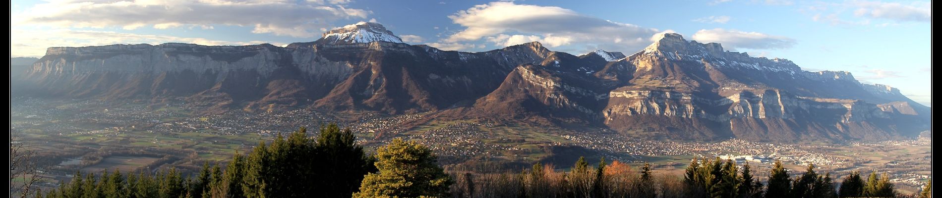
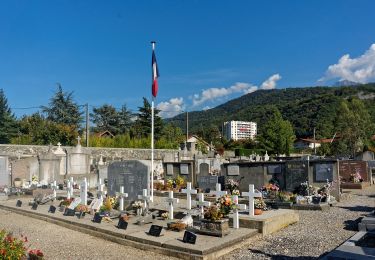
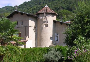
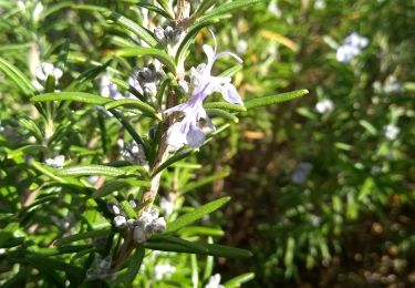
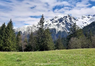
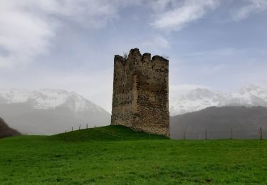
Trail Walking of 9.7 km to be discovered at Auvergne-Rhône-Alpes, Isère, Saint-Jean-le-Vieux. This trail is proposed by flip38.

Description

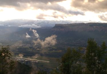
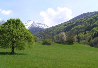
Départ du parking de l'église de Saint-Jean-le-Vieux pour une petite boucle agréable et en grande partie en forêt, mais aussi quelques beaux points de vue. Le petit sommet de la Poya est très panoramique pour admirer la Chartreuse, Belledonne et la vallée du Grésivaudan.
Certaines parties peuvent être un peu grasses par temps humide.

Elevation profile

Photos

Positioning

Country:
France
Region :
Auvergne-Rhône-Alpes
Department/Province :
Isère
Municipality :
Saint-Jean-le-Vieux
Location:
Unknown
Start:(UTM)
726283 ; 5010626 (31T) N.

Trails nearby

Trail On foot La Combe-de-Lancey - Chemin de Découverte (boucle Basse) - Photo
On foot
PRO

On foot

Easy
La Combe-de-Lancey, Auvergne-Rhône-Alpes, Isère, France
3.5 km | 5.1 km-effort
1h 9min
Yes
Trail On foot La Combe-de-Lancey - Chemin de Découverte (boucle Haute) - Photo
On foot
PRO

On foot

Easy
La Combe-de-Lancey, Auvergne-Rhône-Alpes, Isère, France
3.5 km | 5.4 km-effort
1h 13min
Yes
Trail On foot Domène - Domène à Murianette, par les rives de l'Isère - Photo
On foot
PRO

On foot

Easy
Domène, Auvergne-Rhône-Alpes, Isère, France
6.4 km | 7 km-effort
1h 35min
No
Trail On foot Domène - Circuit de Beauregard - Photo
On foot
PRO

On foot

Easy
Domène, Auvergne-Rhône-Alpes, Isère, France
3.6 km | 7 km-effort
1h 35min
Yes
Trail On foot Domène - Circuit de la Monta - Photo
On foot
PRO

On foot

Easy
Domène, Auvergne-Rhône-Alpes, Isère, France
9.9 km | 15.4 km-effort
3h 29min
Yes
Trail On foot Saint-Jean-le-Vieux - La Tour de Revel (par le Mollard) - Photo
On foot
PRO

On foot

Easy
Saint-Jean-le-Vieux, Auvergne-Rhône-Alpes, Isère, France
7.9 km | 13.4 km-effort
3h 2min
No
Trail Mountain bike Domène - Domène, grande boucle : la Bourjat - bois de l'envers - grands bois - Photo
Mountain bike
xexedi

Mountain bike

Medium
(1)
Domène, Auvergne-Rhône-Alpes, Isère, France
10.9 km | 17.5 km-effort
1h 5min
Yes
Trail Walking La Combe-de-Lancey - Col du Pré du Molard - Photo
Walking
flip38

Walking

Difficult
La Combe-de-Lancey, Auvergne-Rhône-Alpes, Isère, France
17.8 km | 33 km-effort
5h 19min
Yes
Trail Walking Laval-en-Belledonne - Boucle Laval - Sainte-Agnès - Photo
Walking
flip38

Walking

Medium
Laval-en-Belledonne, Auvergne-Rhône-Alpes, Isère, France
17.7 km | 29 km-effort
4h 28min
Yes


Close
My subscriptions