


12.4 km | 18.4 km-effort


User


FREE GPS app for hiking
 SityTrail
IGN / Geographical institutes
SityTrail World
The world is yours!
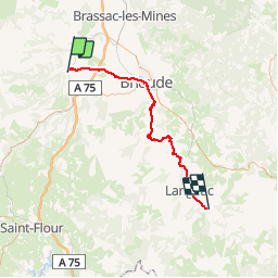
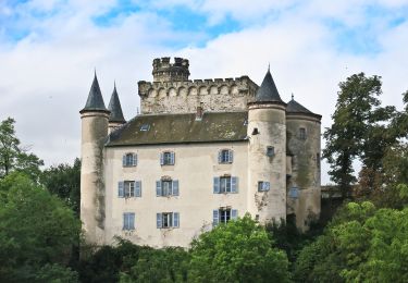
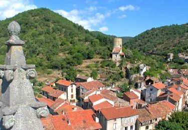
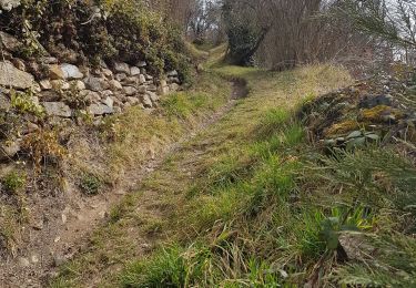
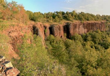
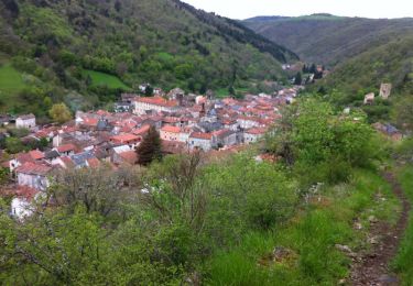
Trail Mountain bike of 59 km to be discovered at Auvergne-Rhône-Alpes, Haute-Loire, Blesle. This trail is proposed by ARVIEU.
Blesle-St Arcons d'Allier
On foot
Walking
Walking
Walking

Walking
Walking
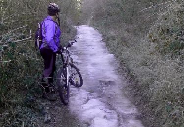
Mountain bike
Walking

Walking