


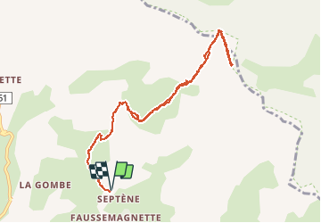

4.3 km | 6.6 km-effort

User


FREE GPS app for hiking
 SityTrail
IGN / Geographical institutes
SityTrail World
The world is yours!
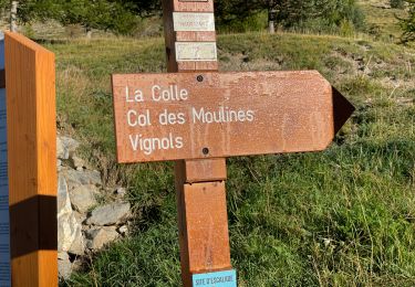
Trail Walking of 10.9 km to be discovered at Provence-Alpes-Côte d'Azur, Maritime Alps, Péone. This trail is proposed by bozo1970.
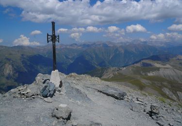
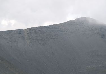
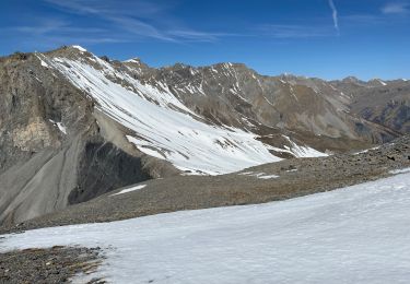
Montée par Péone, la Sagne et la Montagne de l’Estrop
3h50’
Agréable montée au départ de l’oratoire, ensoleillée pour l’hiver.


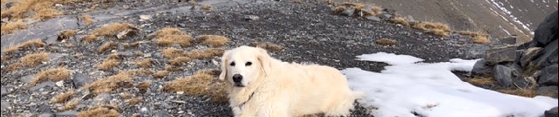
Snowshoes
On foot
On foot

On foot
On foot

Walking
Walking
Walking
Walking