


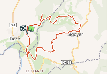

5.7 km | 6.8 km-effort

User


FREE GPS app for hiking
 SityTrail
IGN / Geographical institutes
SityTrail World
The world is yours!
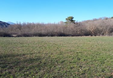
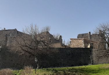
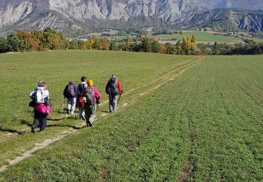
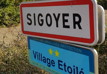
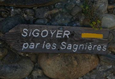
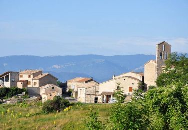
Trail Walking of 11.4 km to be discovered at Provence-Alpes-Côte d'Azur, Alpes-de-Haute-Provence, Thèze. This trail is proposed by claude nier.
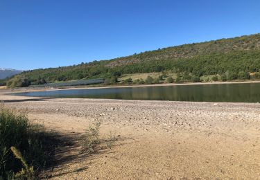
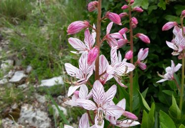
Petite rando sympa ...des beaux paysages...et surtout bien exposé plein sud...soleil garantie
A faire absolument.


sport
Walking
Mountain bike
Walking
Walking
Walking
Walking
Walking
Walking