


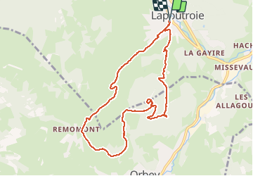


11.1 km | 16.6 km-effort


User


FREE GPS app for hiking
 SityTrail
IGN / Geographical institutes
SityTrail World
The world is yours!
Trail Walking of 9.3 km to be discovered at Grand Est, Haut-Rhin, Lapoutroie. This trail is proposed by Claudele.


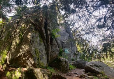
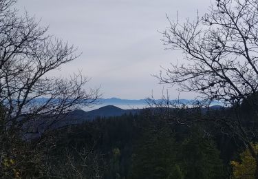
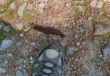
21 photos in total. Please click on a photo to see them all in the gallery.

Walking
Walking

Walking
Walking
Walking

Walking

On foot
Walking
Walking
Magnifique rando panoramique Certe difficulté plus que moyen