


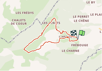

7 km | 8.7 km-effort


User


FREE GPS app for hiking
 SityTrail
IGN / Geographical institutes
SityTrail World
The world is yours!
Trail Walking of 8.5 km to be discovered at Auvergne-Rhône-Alpes, Upper Savoy, Cordon. This trail is proposed by mitch1915.


Walking

Walking

Walking

Other activity

Snowshoes
Walking
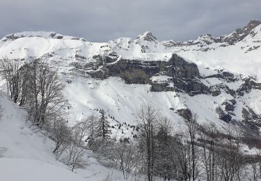
Snowshoes
Snowshoes
Touring skiing
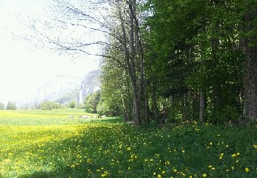
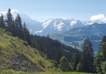
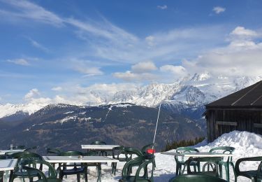
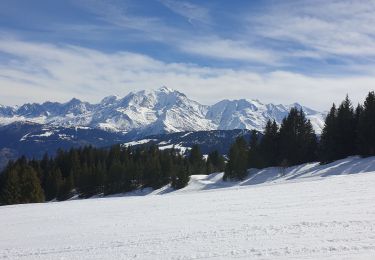
Passage au dessus du refuge hors sentiers sinon très beau belvédère