


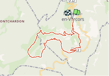

15.8 km | 31 km-effort


User


FREE GPS app for hiking
 SityTrail
IGN / Geographical institutes
SityTrail World
The world is yours!
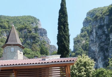
Trail Walking of 11.2 km to be discovered at Auvergne-Rhône-Alpes, Isère, Malleval-en-Vercors. This trail is proposed by cmarit.
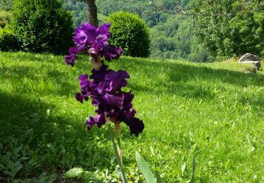
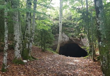
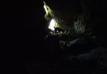
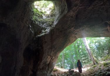
En allant à la Lunette, on a fait un peu de hors piste mais pour le plaisir de s'orienter.
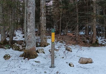
Pour la descente j'ai encore fait un refus sur la combe coquette. La prochaine fois, il faudra chercher le chemin dès le Pas de Pré Coquet, il semble que ça arrive là (vu par Rémy). Au lieu de ça, on a emprunté un chemin bien marqué sur la carte mais pas mal oublié sur le terrain.
Tout le monde était content quand même!
Ce qui a fait le plus peur à certains, c'est la route des gorges du Nan, très étroite!...
Walking

Walking
Walking
Walking
Walking
Walking
Walking
Walking
Walking