


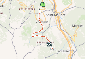

14.3 km | 17.1 km-effort


User


FREE GPS app for hiking
 SityTrail
IGN / Geographical institutes
SityTrail World
The world is yours!
Trail Other activity of 7.1 km to be discovered at Valais/Wallis, Saint-Maurice, Massongex. This trail is proposed by heinzwei.
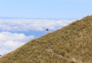
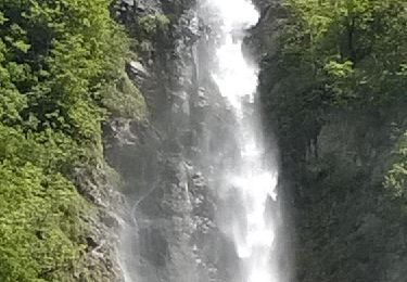
Une belle balade qui vous mène par les hauts jusqu''au lac des Chavonnes ou le restaurant vous acceuil avec une belle terrasse.
Depuis le restaurant on remonte un peu dans les pâturages avant de faire une descente assez raide sur la Forclaz qui est à éviter avec des petits enfants.
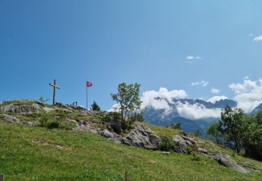
La dernière partie et toujours en descente mais très agréable.
Une sympatique terrasse vous attent à l''arrivée.
On foot

Walking
On foot
Walking

Mountain bike
Walking
Walking
Walking
Walking