


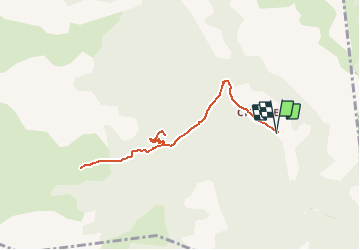

17.1 km | 31 km-effort


User


FREE GPS app for hiking
 SityTrail
IGN / Geographical institutes
SityTrail World
The world is yours!
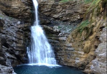
Trail Walking of 8.8 km to be discovered at Provence-Alpes-Côte d'Azur, Alpes-de-Haute-Provence, Villars-Colmars. This trail is proposed by soca.
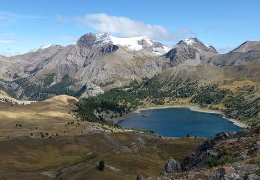
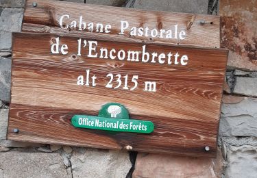
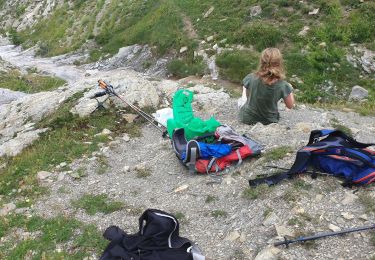
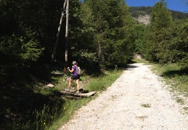
Allée - retour Chasse - cabane de juan avec un arrêt à la grotte de juan.
Walking
Walking
Walking
Walking

Walking
Snowshoes
4x4
Walking
Walking