


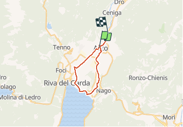

4.7 km | 11.3 km-effort


User


FREE GPS app for hiking
 SityTrail
IGN / Geographical institutes
SityTrail World
The world is yours!
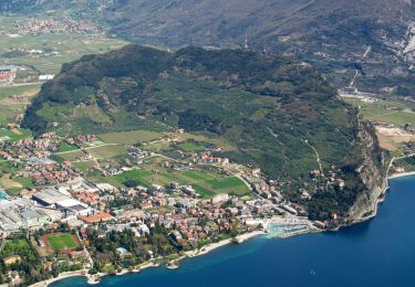
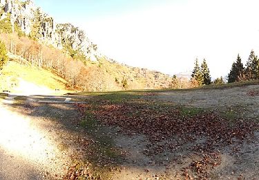
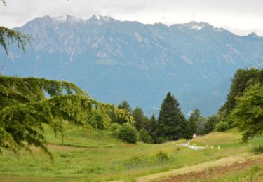
Trail Bicycle tourism of 17.1 km to be discovered at Trentino-Alto Adige/Südtirol, Provincia di Trento, Arco. This trail is proposed by LauVan.
On foot
On foot
On foot
On foot
On foot
On foot
On foot
On foot
On foot