


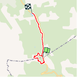


4.5 km | 6.1 km-effort


User


FREE GPS app for hiking
 SityTrail
IGN / Geographical institutes
SityTrail World
The world is yours!
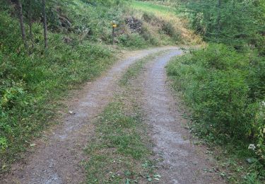
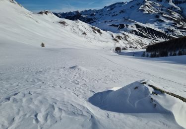
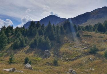
Trail Snowshoes of 4.5 km to be discovered at Provence-Alpes-Côte d'Azur, Hautes-Alpes, Vars. This trail is proposed by jcm17.
Tour au Col de Vars vers l’igloo puis la Chapelle Ste Marie-Madeleine, suivi d'une descente jusqu'au Refuge Napoléon?

Walking

Walking
Walking

Other activity
Electric bike
Walking
Walking
Touring skiing
Walking