


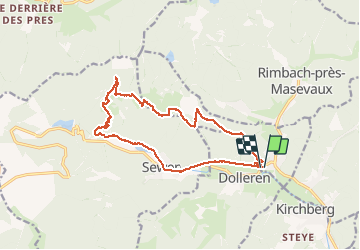


19.9 km | 34 km-effort

User


FREE GPS app for hiking
 SityTrail
IGN / Geographical institutes
SityTrail World
The world is yours!
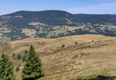
Trail Walking of 15.7 km to be discovered at Grand Est, Haut-Rhin, Oberbruck. This trail is proposed by helmut68.
Départ terrain de foot à Oberbruck .Traversez la route et de suite prendre un sentier balisé " croix bleue " jusqu'à l'abri du "Lagerwald ".Profitez de cet endroit perché , entouré d'arbres où règne un calme appréciable.
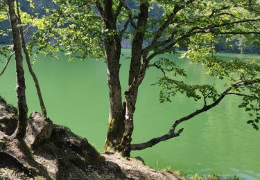
Pour le retour en empruntez le balisage " rectangle bleu " jusqu'au refuge d'Issenbach( ouvert le dimanche et jours fériés) .De la descendez environ 250 m ,puis suivez sur votre gauche le sentier qui descend balisé " triangle bleu" qu'à le ferme auberge du Baerenbach ( repas , boisson , hébergement...) puis jusqu'à Oberbruck. A noter que le tronçon lac d'Alfeld - Sewen passe en "rectangle bleu".
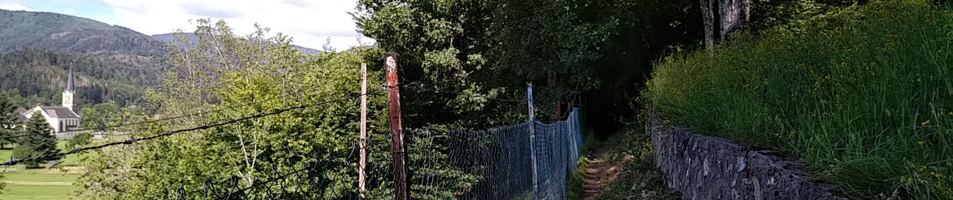
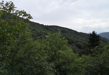
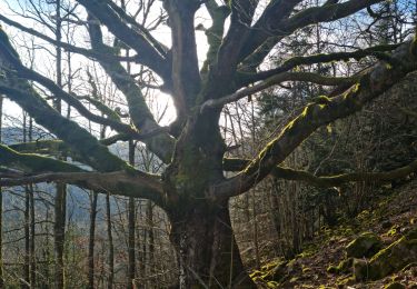
On apprécie beaucoup le paysage changeant tout le long du parcours,mais aussi la beauté et l'emplacement de l'abri...
Alors à vos chaussures...


30 photos in total. Please click on a photo to see them all in the gallery.

Walking
Walking

Walking
Walking
Walking
Walking

Walking

Walking
Walking