


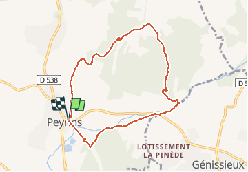

6.7 km | 8.4 km-effort


User


FREE GPS app for hiking
 SityTrail
IGN / Geographical institutes
SityTrail World
The world is yours!
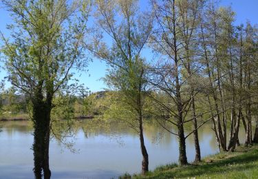
Trail Walking of 8.4 km to be discovered at Auvergne-Rhône-Alpes, Drôme, Peyrins. This trail is proposed by CathyBB26.

Walking
Walking
Walking
Road bike
Walking
Walking

Walking
Walking
Walking
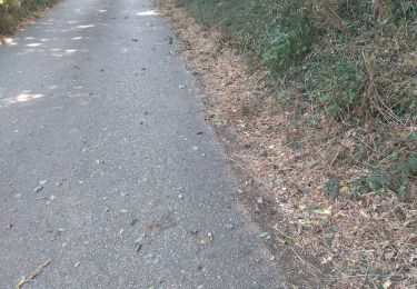
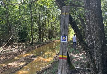
tres bien sauf la passage devant le château on a du contourner...