


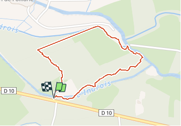

10.9 km | 12.3 km-effort


User


FREE GPS app for hiking
 SityTrail
IGN / Geographical institutes
SityTrail World
The world is yours!
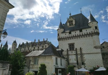
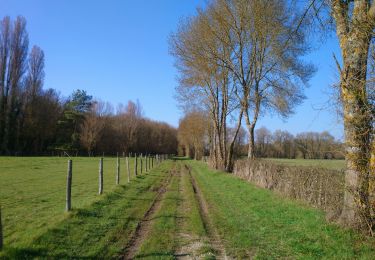
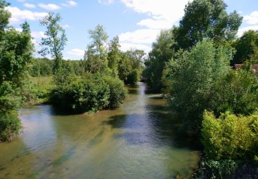
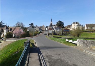
Trail Walking of 998 m to be discovered at Centre-Loire Valley, Indre-et-Loire, Azay-sur-Indre. This trail is proposed by GéDé.
visite
Walking
Walking

On foot
On foot
Walking
Walking
Walking

Walking
Walking
La rando n'est plus possible car une barrière ferme l'accès