


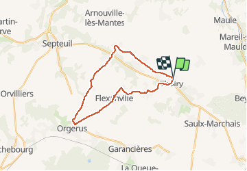

11.3 km | 14.5 km-effort


User


FREE GPS app for hiking
 SityTrail
IGN / Geographical institutes
SityTrail World
The world is yours!
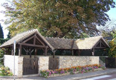
Trail of 22 km to be discovered at Ile-de-France, Yvelines, Thoiry. This trail is proposed by jmmol.
Cyclemeter Vélo (Route) 20 janv. 2020 à 15:08:00
Walking

Walking
Walking
Walking

Walking

Walking
Walking