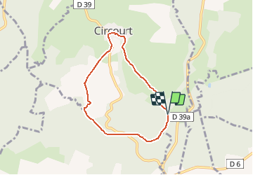

15 km | 18.8 km-effort

User


FREE GPS app for hiking
 SityTrail
IGN / Geographical institutes
SityTrail World
The world is yours!
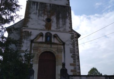
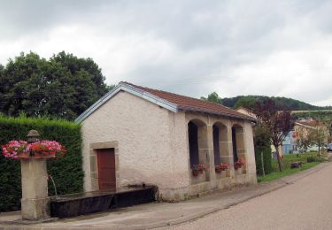
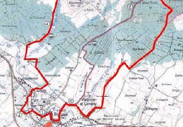
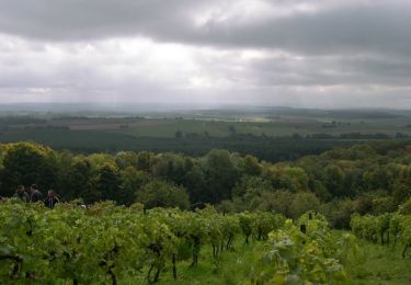
Trail Walking of 5.8 km to be discovered at Grand Est, Vosges, Circourt. This trail is proposed by tracegps.
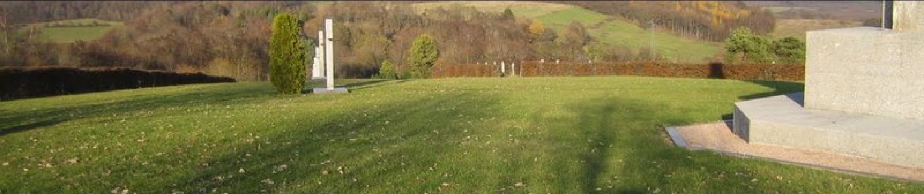
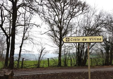
Petite boucle de 6 km autour des Bois de Revaux partant du village de Circourt. Au fil des kilomètres, découvrez les richesses géologiques et botaniques des contreforts vosgiens.

On foot
On foot

Walking
Walking
Walking
Walking