


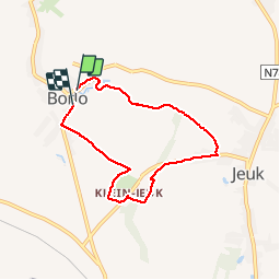


18.2 km | 19.5 km-effort

User


FREE GPS app for hiking
 SityTrail
IGN / Geographical institutes
SityTrail World
The world is yours!
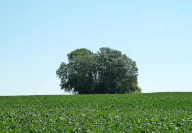
Trail Walking of 5.6 km to be discovered at Flanders, Limburg, Gingelom. This trail is proposed by cedricclaessens.
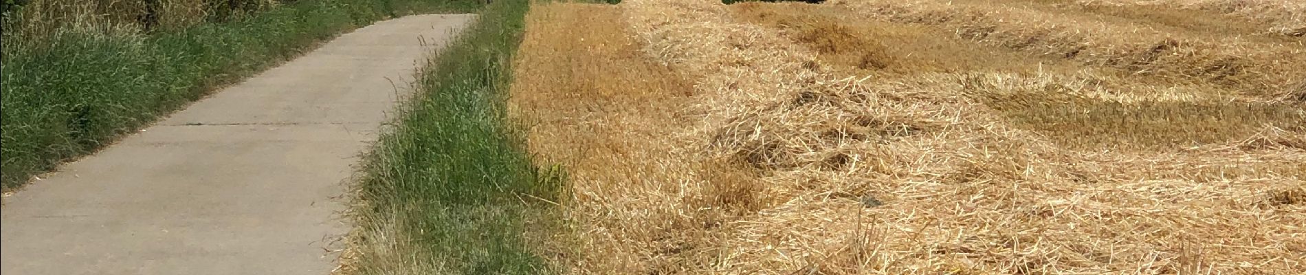
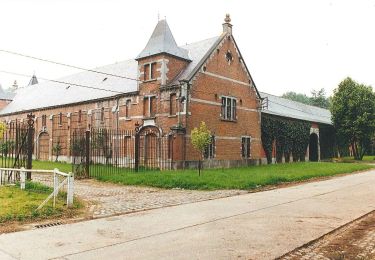
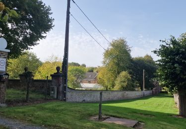
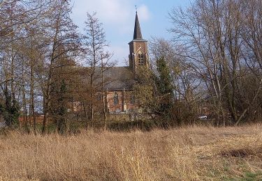
Promenade entre vergers, prairies, champs. Paysages variés, itinéraire très bien balisé vous emmenant à travers de sentier en dur et à travers des prairies de moutons. Un vrai moment de dépaysement.


Walking

On foot
On foot
Walking
On foot
On foot
