


11.6 km | 16.5 km-effort

User


FREE GPS app for hiking
 SityTrail
IGN / Geographical institutes
SityTrail World
The world is yours!
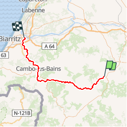
Trail Bicycle tourism of 69 km to be discovered at New Aquitaine, Pyrénées-Atlantiques, Saint-Palais. This trail is proposed by karawatsj.
Het is mooi en warm weer maar de lucht is heel vochtig. Zweetweer dus.
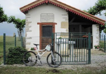
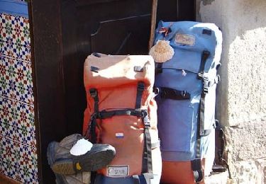
We hebben St-Palais gisterenavond wat verkend en kennisgemaakt met de pelote-sport in zijn verschillende varianten. Baskenland bevalt ons echt wel.
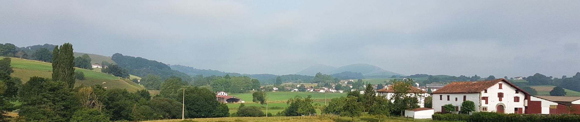
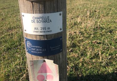
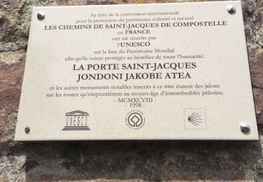
We verlaten St-Palais langs de vallei van de Joyeuse stroomopwaarts (D8). Het stijgt gestaag maar langzaam. We komen in Iholdy met het mooie kerkje. Hier verlaten we de vallei en klimmen naar Hélette (met af en toe héle steile stukken).
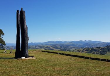
Vanaf Héletta gaat het afwisselend steil op en af om tenslotte steil te dalen naar Louhossoa. Inkopen doen.
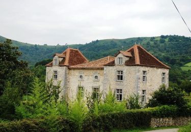
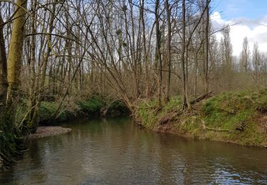
We dalen af naar de Pas de Roland (D169) langs de rivier de Nive. Een mooie rustig gelegen enge kloof met stroomversnellingen en daarom ook geliefd bij de rafters. Ideale pick-nick-plaats. De rest van de dag zullen we de Nive gebruiken als gids naar Bayonne.
Baskenland is een welvarende regio. Dit is duidelijk merkbaar bij het binnenrijden van Cambo-les-Bains. Je waant je in een ander land ware het niet dat er Frans wordt gesproken.
Via Jatxou (D650) komen we in Ustaritz. Hier nemen we een wandel en fietsweg langs de Nive die ons zal brengen tot in het centrum van Bayonne.


Mountain bike
Equestrian
Walking
Trail
Walking
Car
Electric bike
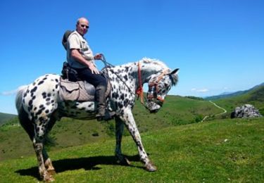
Equestrian

On foot