


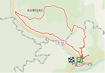

10.3 km | 14.7 km-effort

User GUIDE


FREE GPS app for hiking
 SityTrail
IGN / Geographical institutes
SityTrail World
The world is yours!
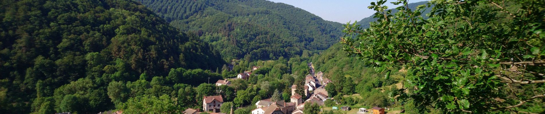
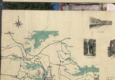
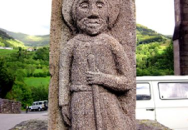
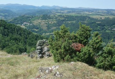
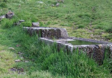
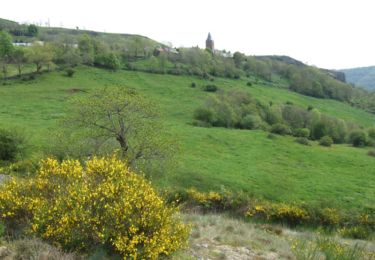
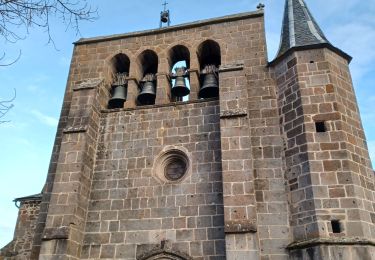
Trail Walking of 7.7 km to be discovered at Auvergne-Rhône-Alpes, Cantal, Ferrières-Saint-Mary. This trail is proposed by Orcal37.
Cantal - Ferrières-Saint-Mary - Les Gorges de la Bouzaire - 7.7km 350m 2h50 - 2019 07 01


Walking
Walking
Walking
Walking
Walking
Walking


sport
sport
sport