


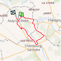


19.8 km | 21 km-effort


User


FREE GPS app for hiking
 SityTrail
IGN / Geographical institutes
SityTrail World
The world is yours!
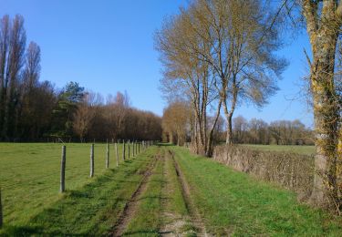
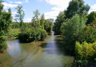
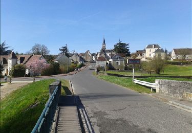
Trail Walking of 11.5 km to be discovered at Centre-Loire Valley, Indre-et-Loire, Azay-sur-Indre. This trail is proposed by HAESE.
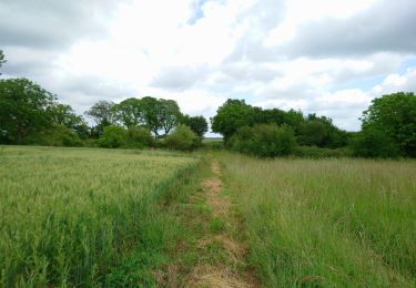
Walking

On foot
On foot
Walking
Walking
Walking

Walking
Walking

On foot