


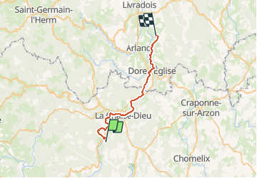

10.7 km | 13.5 km-effort


User


FREE GPS app for hiking
 SityTrail
IGN / Geographical institutes
SityTrail World
The world is yours!
Trail Equestrian of 27 km to be discovered at Auvergne-Rhône-Alpes, Haute-Loire, Connangles. This trail is proposed by clement63.
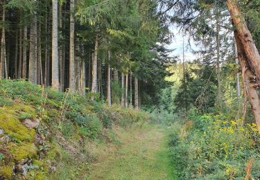
Et voilà, dernière ligne droite, retour à Choupayres avec les poneys !
Walking
Walking

Walking
Walking

On foot
On foot

Walking
Walking
Walking