


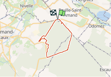

13.2 km | 13.9 km-effort

User


FREE GPS app for hiking
 SityTrail
IGN / Geographical institutes
SityTrail World
The world is yours!
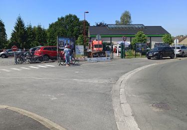
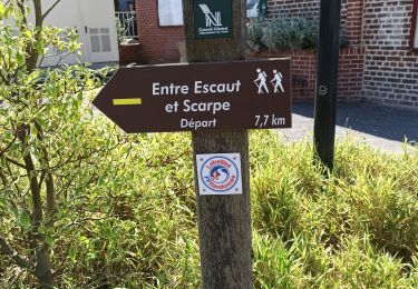
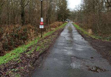
Trail Walking of 10.3 km to be discovered at Hauts-de-France, Nord, Nivelle. This trail is proposed by Pascal Catenne.
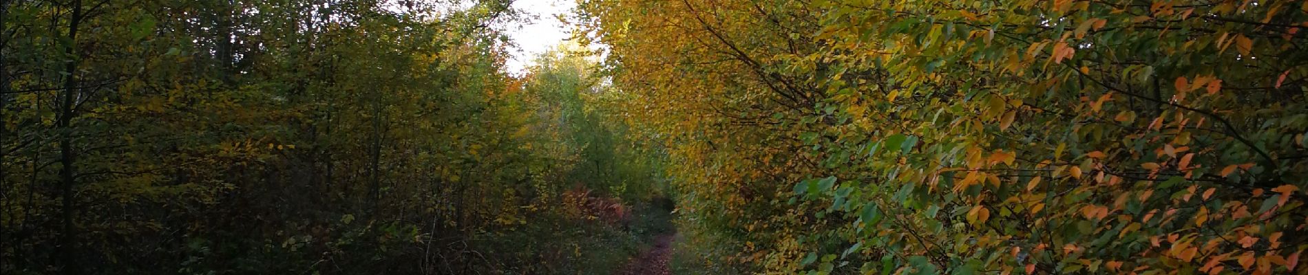
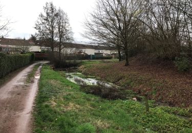
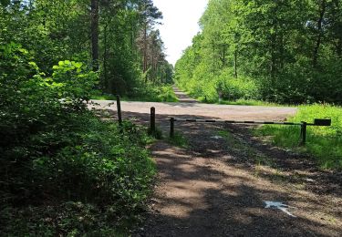
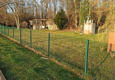
Boucle dans les bois avec une partie facile en famille et une dernière partie en chemin étroit, donc pas de poussette. De plus cette dernière est assez compliqué en automne et hivers car très boueux, les chaussures de marches s'enfoncent jusqu'au dessus des semelles, et les glissades nombreuses. Sur le parcours nombreuses traces de passages de sangliers, terrains retournés sur de grande superficie laissant penser à une harde, ainsi que des sentes moins larges mais plus hautes laissant penser qu'elles ont été faites par des chevreuils ou cerfs présents eux aussi dans ces bois.


Walking
Walking
Walking
Walking
Walking
Walking
Walking
Walking

Walking