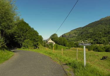
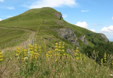
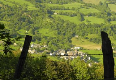
18.8 km | 28 km-effort
Le Falgoux - Pas de Peyrol
kipoura
User
Length
46 km
Max alt
1614 m
Uphill gradient
1702 m
Km-Effort
68 km
Min alt
696 m
Downhill gradient
1679 m
Boucle
No
Creation date :
2018-08-17 16:09:50.201
Updated on :
2020-07-29 16:18:06.357
4h20
Difficulty : Very difficult
FREE GPS app for hiking
About
Trail Mountain bike of 46 km to be discovered at Auvergne-Rhône-Alpes, Cantal, Le Falgoux. This trail is proposed by kipoura.
Description
- Un circuit VTT vraiment trés hard, portage et poussette en veux tu en voilà ......
Positioning
Country:
France
Region :
Auvergne-Rhône-Alpes
Department/Province :
Cantal
Municipality :
Le Falgoux
Location:
Unknown
Start:(Dec)
Start:(UTM)
470210 ; 5000052 (31T) N.
Comments
Trails nearby
Franconèche- Gr400-chemin des Italiens bis
Walking
Very difficult
(1)
Le Falgoux,
Auvergne-Rhône-Alpes,
Cantal,
France
6h 46min
Yes
15.08.2013
Other activity
Easy
(1)
Saint-Paul-de-Salers,
Auvergne-Rhône-Alpes,
Cantal,
France
33 km | 54 km-effort
6h 13min
No
Le Roc du Merle
On foot
Easy
Le Falgoux,
Auvergne-Rhône-Alpes,
Cantal,
France
8.3 km | 14.5 km-effort
3h 18min
No
Sentier de la cascade du Biaguin
On foot
Easy
Le Falgoux,
Auvergne-Rhône-Alpes,
Cantal,
France
3.8 km | 5.5 km-effort
1h 14min
Yes
La Baladie
On foot
Easy
(1)
Le Falgoux,
Auvergne-Rhône-Alpes,
Cantal,
France
10.9 km | 18.5 km-effort
4h 11min
Yes
Le Mars
On foot
Easy
Le Falgoux,
Auvergne-Rhône-Alpes,
Cantal,
France
9.9 km | 16.1 km-effort
3h 39min
Yes
Sur la route des transhumances étape 2
On foot
Difficult
Le Falgoux,
Auvergne-Rhône-Alpes,
Cantal,
France
18.3 km | 31 km-effort
7h 4min
No
Sentier du Bar
On foot
Easy
Le Falgoux,
Auvergne-Rhône-Alpes,
Cantal,
France
4.7 km | 8 km-effort
1h 49min
Yes
11.08.2013
Walking
Easy
(1)
Saint-Paul-de-Salers,
Auvergne-Rhône-Alpes,
Cantal,
France
10.6 km | 15.6 km-effort
3h 7min
No