


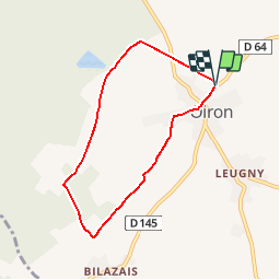

11.7 km | 13.6 km-effort


User


FREE GPS app for hiking
 SityTrail
IGN / Geographical institutes
SityTrail World
The world is yours!
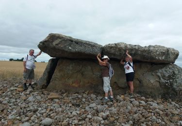
Trail Walking of 6.3 km to be discovered at New Aquitaine, Deux-Sèvres, Plaine-et-Vallées. This trail is proposed by dan79.
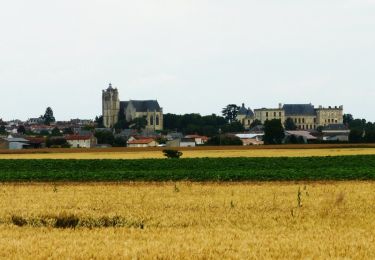
Circuit d'Oiron
Circuit proposé par la mairie d’Oiron.
Départ du Château d’Oiron
Retrouvez le circuit sur le site de la mairie d’Oiron.
Walking
Walking

Road bike