Trail Other activity Bernex - Dent d''Oche (2''222 m) - Photo

Dent d''Oche (2''222 m)

 Romrando
Romrando

User

© OpenStreetMap contributors
Length
Length
6.1 km
Max alt
Max alt
2187 m
Uphill gradient
Uphill gradient
920 m
Km-Effort
Km-Effort  
18.4 km
Min alt
Min alt
1236 m
Downhill gradient
Downhill gradient
920 m
Boucle
Boucle
Yes
Creation date :
2014-12-11 00:00:00.0
Updated on :
2014-12-11 00:00:00.0

(0 Reviews)

Other activity
Other activity
--
Difficulty : Unknown

Scan this QR Code to open this trail in the SityTrail application

FREE GPS app for hiking

Logo SityTrail SityTrail

IGN / Geographical institutes

Download SityTrail from the App Store Download SityTrail from Google Play

Logo SityTrail SityTrail World

The world is yours!

Download SityTrail from the App Store Download SityTrail from Google Play Download SityTrail on Huawei AppGallery

About

Trail Other activity of 6.1 km to be discovered at Auvergne-Rhône-Alpes, Upper Savoy, Bernex. This trail is proposed by Romrando.

Description

Source:geocities.com/romrando - 25.7.05

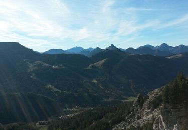
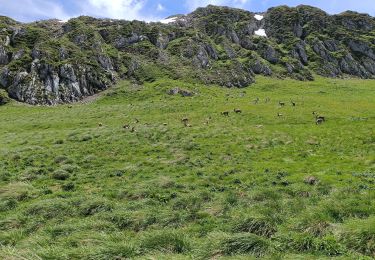
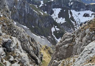
Assez fréquenté, le sentier est parfois très aérien. Balcon exceptionnel sur le Léman. Nombreux bouquetins.

Itinéraire :Depuis Evian en voiture par Bernex puis le hameau de Troissy jusqu''à la buvette de la Fétiuère (parking).

Départ du sentier devant la buvette par une assez raide montée en forêt, passer un ruisseau puis directement jusqu''aux Chalets d''Oche. Par la pente raide au-dessus des chalets, en quelques lacets puis vers la gauche, on gagne le col de Rebollion. A droite on suit une sente qui vient buter au pied des rochers. Par une suite de cheminées faciles équipées de câbles (attention aux chutes de pierres) on gagne le refuge de la Dent d''Oche, véritable nid d''aigle posé sur l''arête. Passer derrière lui puis parvenir sous le ressaut avant le sommet. Par une traversée ascendante à droite dans une dalle facile (chaines et câbles) on regagne l''arête puis le sommet.

Du sommet descendre par l''arête est, suivre le sentier versant nord un court instant (aérien) puis versant sud et descendre à flanc sous l''arête parvenant au-dessus d''une dalle. Câbles et chaines permettent de la franchir et de rejoindre le sentier qui mène au col de Planchamp. Un sentier vous ramène alors aux lacs puis aux Chalets d''Oche.

Elevation profile

Positioning

Country:
France
Region :
Auvergne-Rhône-Alpes
Department/Province :
Upper Savoy
Municipality :
Bernex
Location:
Unknown
Start:(UTM)
323664 ; 5135027 (32T) N.

Trails nearby

Trail Walking Bernex - Dent d'Oche - coucher de soleil  - Photo
Walking
dalla.anthony

Walking

Medium
(4)
Bernex, Auvergne-Rhône-Alpes, Upper Savoy, France
9.2 km | 22 km-effort
3h 13min
Yes
Trail Walking Bernex - Pic des mémises . colombier par Creusaz  - Photo
Walking
GUIDE
nadd73

Walking

Medium
Bernex, Auvergne-Rhône-Alpes, Upper Savoy, France
8 km | 15.1 km-effort
4h 7min
No
Trail Walking La Chapelle-d'Abondance - lac darbon - Photo
Walking
tof38

Walking

Easy
(1)
La Chapelle-d'Abondance, Auvergne-Rhône-Alpes, Upper Savoy, France
5.9 km | 13.7 km-effort
3h 54min
No
Trail Walking Bernex - Rando Bernex - Photo
Walking
Fab-Oz

Walking

Difficult
Bernex, Auvergne-Rhône-Alpes, Upper Savoy, France
15.9 km | 30 km-effort
5h 25min
Yes
Trail Walking La Chapelle-d'Abondance - Lac du Dacron - Photo
Walking
Glaf21

Walking

Medium
La Chapelle-d'Abondance, Auvergne-Rhône-Alpes, Upper Savoy, France
8 km | 16.1 km-effort
6h 22min
Yes
Trail Walking Bernex - DENT D'OCHE ET LAC D'ARBON - Photo
Walking
djeepee74

Walking

Very difficult
Bernex, Auvergne-Rhône-Alpes, Upper Savoy, France
10.5 km | 26 km-effort
5h 51min
Yes
Trail Walking Bernex - Boucle depuis Pre Richard.. - Photo
Walking
tyax93

Walking

Medium
Bernex, Auvergne-Rhône-Alpes, Upper Savoy, France
10 km | 19.6 km-effort
4h 46min
Yes
Trail Walking Thollon-les-Mémises - Pic des Mémises-Col de Pertuis-Le Hameau de L’Ain retour Parking - Photo
Walking
Schaff

Walking

Difficult
Thollon-les-Mémises, Auvergne-Rhône-Alpes, Upper Savoy, France
11.4 km | 16.2 km-effort
2h 32min
No
Trail Walking Vacheresse - Tour du Mont Chauffé  - Photo
Walking
reneperrin

Walking

Medium
Vacheresse, Auvergne-Rhône-Alpes, Upper Savoy, France
12.7 km | 23 km-effort
5h 12min
Yes


Close
My subscriptions