


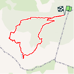


10.8 km | 24 km-effort

User


FREE GPS app for hiking
 SityTrail
IGN / Geographical institutes
SityTrail World
The world is yours!
Trail Walking of 11.9 km to be discovered at Occitania, Ariège, Rabat-les-Trois-Seigneurs. This trail is proposed by randodan.
2012 - Camp de base : Vicdessos - 10 sep -<br>
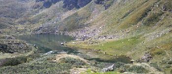
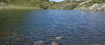
L´Étang Bleu des 3 Seigneurs (boucle).<br>
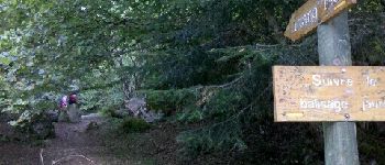
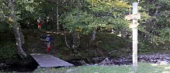
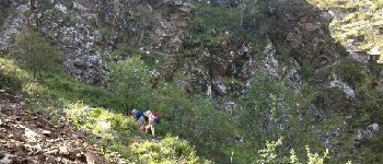
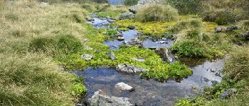
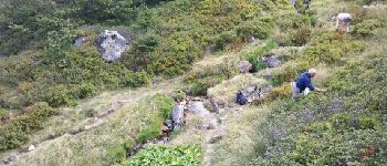
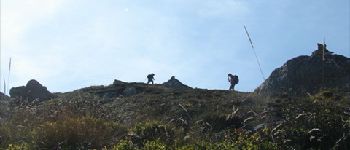
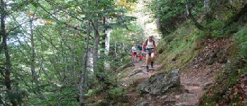
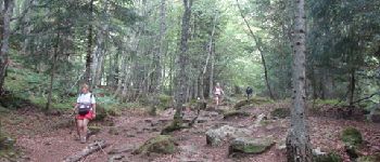
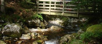
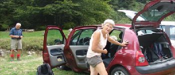
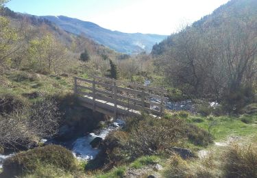
Départ parking terminal de la D223 (1022 m) 9h15 . Dans la clairière d´Embanels, aujourd’hui (lundi), y a plus personne . 10h, 1180 m, à la passerelle, cette fois on prends le bon sentier ;o).<br>
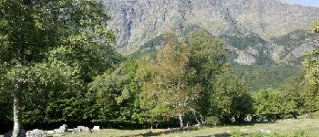
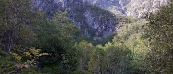
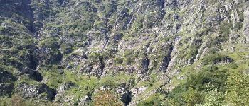
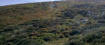
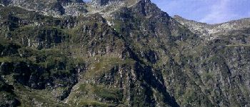
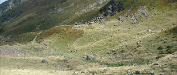
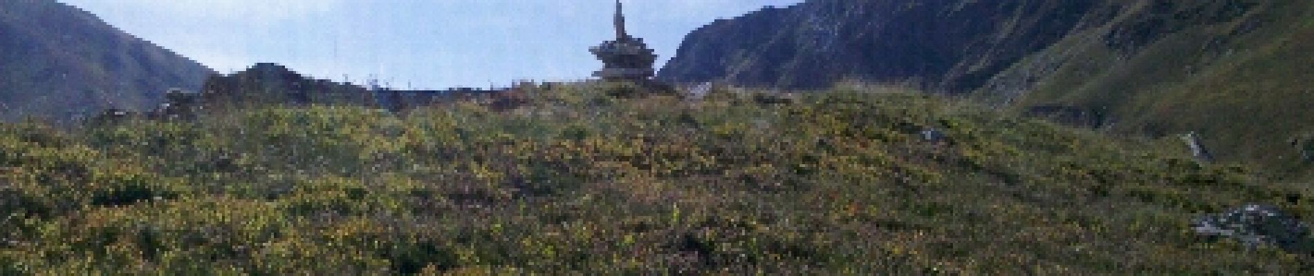
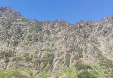
11h, 1460 m, après une raide grimpette en sous-bois suivie d´une approche découverte, débouchons au pied des vertigineuses falaises du Cirque d´Embans . S´en suit une autre grimpette qui nous mène sur la crête calcinée (récemment) d´une moraine à 1822 m.<br>
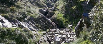
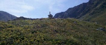
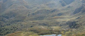
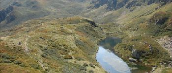
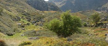
1/4h plus tard, midi et demi, nous arrivons enfin à l’Étang Bleu <i>(Blaou de son ancien nom)</i>, 1785 m, pour le pique-nique . Mais de "Bleu", il n´en a que le nom !<br>
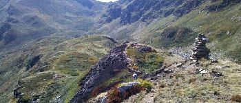
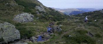
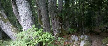
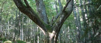
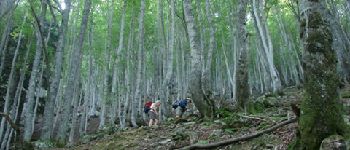
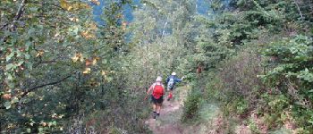
14h15, rechaussés, on redescend par la Jasse de l’Étang Bleu et le Bois Debès du Ressec . Au passage, il y aura bien sûr des myrtilles ! 17h à la voiture.<br>
D JL Mir Dan.


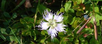
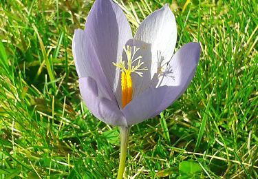
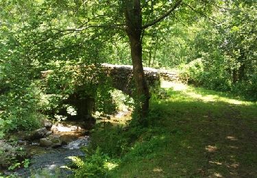
30 photos in total. Please click on a photo to see them all in the gallery.

Walking

Walking
Walking
Walking
Walking

Walking

Walking
Walking