


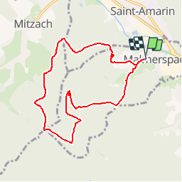

10.3 km | 16.4 km-effort


User


FREE GPS app for hiking
 SityTrail
IGN / Geographical institutes
SityTrail World
The world is yours!
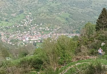
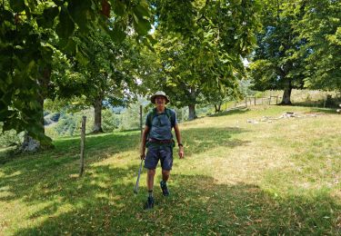
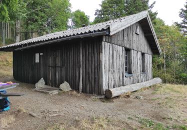
Trail Walking of 8.2 km to be discovered at Grand Est, Haut-Rhin, Malmerspach. This trail is proposed by patrickbeyrath.
Parking maison de retraite, rue de l'école et prendre circuit rond bleu, ensuite rectangle jaune blanc jaune et circuit rond bleu,rejoindre GR532, rectangle jaune,(voir point de vue Hirschbachkopf,2x100m de plus)Col des Dreimarkstein et ensuite retour par rond rouge jusqu'à Malmerspach environ 10km le tout

On foot
Walking

Walking

Walking
Walking
Hybrid bike
Walking
Walking