


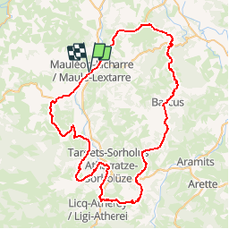

11.9 km | 17 km-effort


User


FREE GPS app for hiking
 SityTrail
IGN / Geographical institutes
SityTrail World
The world is yours!
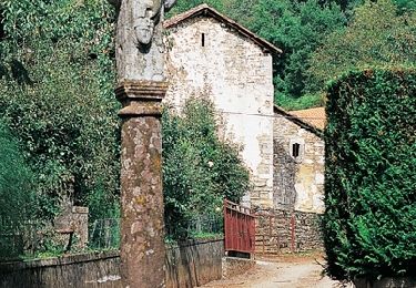
Trail Bicycle tourism of 84 km to be discovered at New Aquitaine, Pyrénées-Atlantiques, Mauléon-Licharre. This trail is proposed by potofe.
Vélo 64
Rando N° 17
Parcours une ou deux journées, à prendre avec sérieux, pour cyclotouriste chevronné (entrainement de 3000 à 4000 km). Attention, au col de la Serre. Petirs braquets recommandés (28x24 ou 28x26 par exemple).
Walking
Walking
Walking

On foot
Walking
Walking

Walking

Equestrian
Walking