


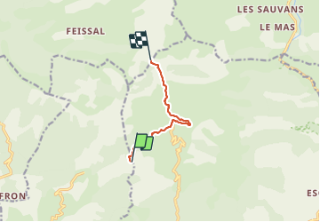

15.2 km | 28 km-effort

User


FREE GPS app for hiking
 SityTrail
IGN / Geographical institutes
SityTrail World
The world is yours!
Trail Walking of 6.2 km to be discovered at Provence-Alpes-Côte d'Azur, Alpes-de-Haute-Provence, Hautes-Duyes. This trail is proposed by jalien04.
Départ Auribeau en direction du col d'Ainac en véhicule ou à pied.
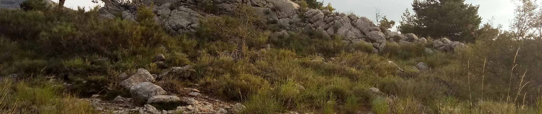
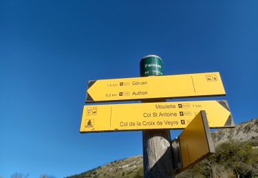
La remontée du Galabre en rive gauche au départ de Lambert est intéressante. Le passage en rive droite est à surveiller pour atteindre le col Saint-Antoine.


Walking

Walking
Walking
Walking
Walking
On foot

Walking

Walking

Walking